Related Images


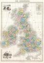

Download:
| Tiny | 252x128 | View | Download |
| Small | 505x256 | View | Download |
| Medium | 1011x512 | View | Download |
| Original png | 1640x830 | View | Download |
| Original as jpg | 1640x830 | View | Download |
This image was acquired from
wikimedia. It was marked as Public Domain or CC0 and is free to use. To verify, go to the source and check the information there.
Looking for more info about this image?
Try a Google Reverse Image Search for it.
Try a Google Reverse Image Search for it.
Keywords from Image Description:
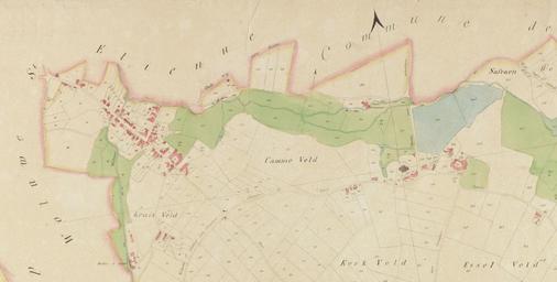
Low and High Kraainem in the th century. en Map of the northern part of Kraainem Belgium last updated in The historic commercial center Low Kraainem left settlement is considerably larger than the older High Kraainem right settlement centered around the th century Saint Pancratius Church Map published by the Royal Library of Belgium