
Related Images

Download:
| Tiny | 91x128 | View | Download |
| Small | 182x256 | View | Download |
| Medium | 364x512 | View | Download |
| Large | 728x1024 | View | Download |
| Original | 2000x2810 | View | Download |
This image was acquired from
wikimedia. It was marked as Public Domain or CC0 and is free to use. To verify, go to the source and check the information there.
Looking for more info about this image?
Try a Google Reverse Image Search for it.
Try a Google Reverse Image Search for it.
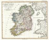
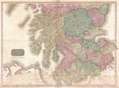
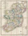
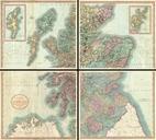
Keywords from Image Description:
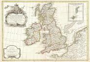
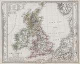
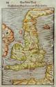
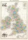
Migeon Map of the British Isles England Ireland Scotland Geographicus BritishIslesmigeon. This hand colored map of the British Isles is steel plate engraving dating to by the well regarded French cartographer Migeon It includes England Scotland Ireland and Wales Migeon Geographie Universelle published in Paris is one of the