
Related Images


Download:
| Tiny | 195x128 | View | Download |
| Small | 390x256 | View | Download |
| Medium | 780x512 | View | Download |
| Original | 800x525 | View | Download |
This image was acquired from
wikimedia. It was marked as Public Domain or CC0 and is free to use. To verify, go to the source and check the information there.
Looking for more info about this image?
Try a Google Reverse Image Search for it.
Try a Google Reverse Image Search for it.
Keywords from Image Description:
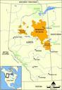
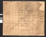
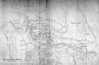
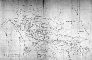
Map of Athabasca Region. Copy of Map Presented to Congress of United States and to the Lt Governor of Quebec by Peter Pond en br Original text National Archives of Canada NMC Source site collectionscanada gc ca html Source URL collectionscanada ca br original text Peter Pond Public domain per collectionscanada gc ca