Related Images


Download:
| Tiny | 162x128 | View | Download |
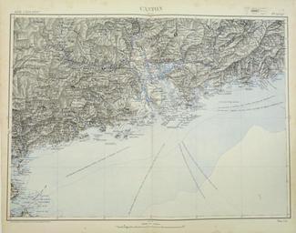
| Small | 324x256 | View | Download |
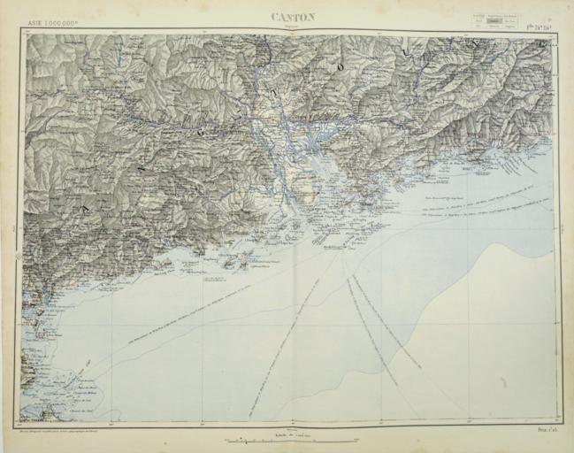
| Medium | 649x512 | View | Download |
| Large | 1298x1024 | View | Download |
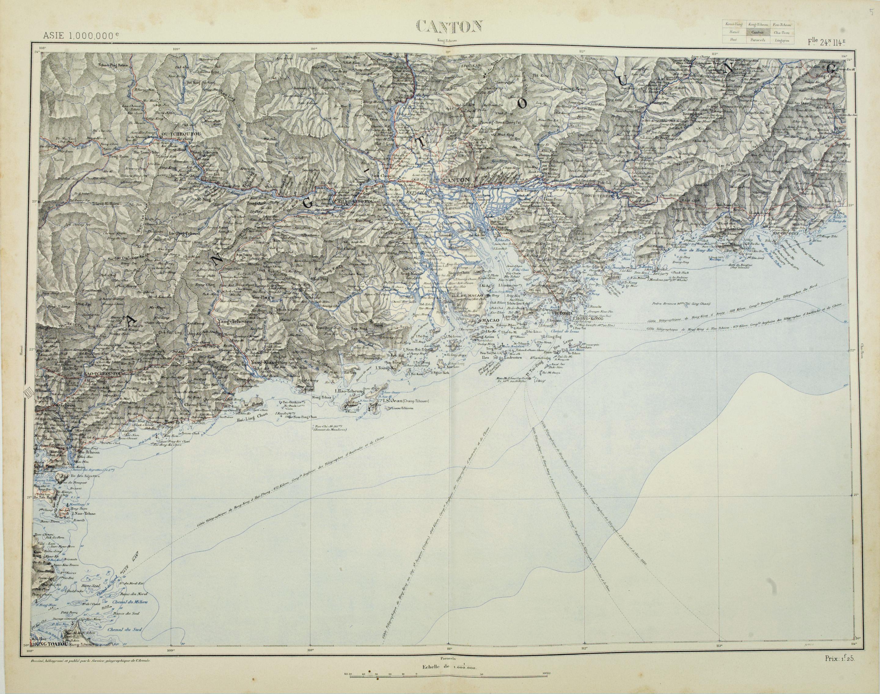
| Original png | 2881x2272 | View | Download |
| Original as jpg | 2881x2272 | View | Download |
This image was acquired from
wikimedia. It was marked as Public Domain or CC0 and is free to use. To verify, go to the source and check the information there.
Looking for more info about this image?
Try a Google Reverse Image Search for it.
Try a Google Reverse Image Search for it.
Keywords from Image Description:
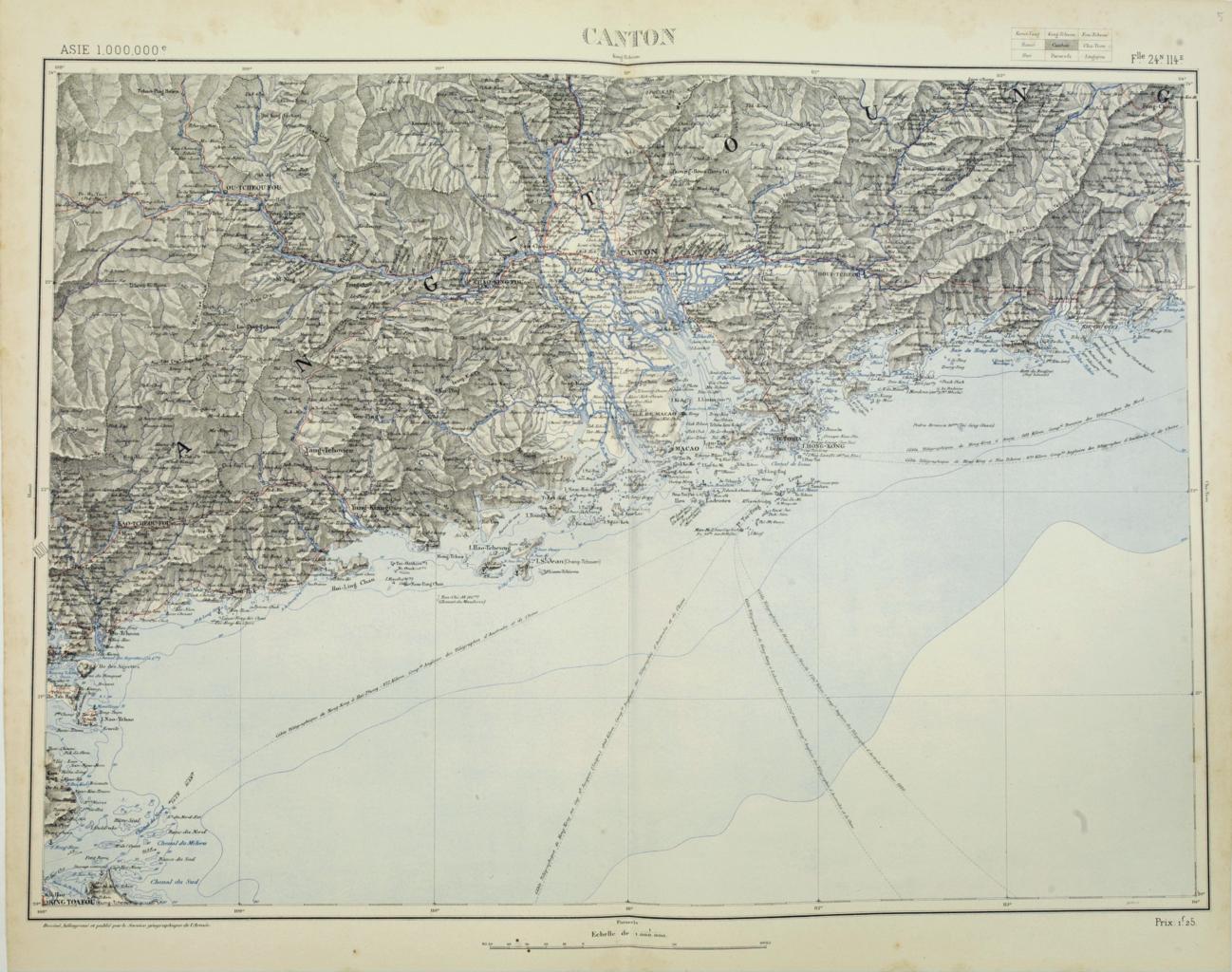
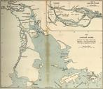
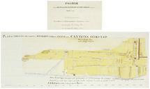
Map of Canton and vicinity . map centered on Macao and Victoria Island showing soundings English Australian Danish telegraph lines reaching Hong Kong and extended to Macao swaen php id Swaen Gallery updated for june Service gographique des armes PDold maps Old maps of Guangdong Old maps of Guangzhou Old maps of Hong Kong


