
Related Images


Download:
| Tiny | 104x128 | View | Download |
| Small | 208x256 | View | Download |
| Medium | 416x512 | View | Download |
| Original svg | 468x576 | View | Download |
| Original as jpg | 468x576 | View | Download |
This image was acquired from
wikimedia. It was marked as Public Domain or CC0 and is free to use. To verify, go to the source and check the information there.
Looking for more info about this image?
Try a Google Reverse Image Search for it.
Try a Google Reverse Image Search for it.
Keywords from Image Description:
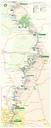
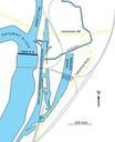
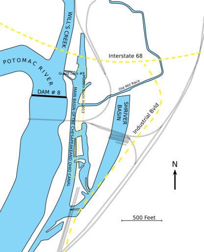
Map of Chesapeake and Ohio Canal Terminus at Cumberland Maryland in mid s.svg en Map of the end of the Chesapeake and Ohio Canal in the mid 's at Cumberland Maryland Yellow dotted lines indicate modern items approximate location of Canal Basin in Interstate and Industrial Bvld Also note some railroad tracks are missing particularly