
Related Images


Download:
| Tiny | 107x128 | View | Download |
| Small | 214x256 | View | Download |
| Medium | 429x512 | View | Download |
| Large | 858x1024 | View | Download |
| Original | 4832x5763 | View | Download |
This image was acquired from
wikimedia. It was marked as Public Domain or CC0 and is free to use. To verify, go to the source and check the information there.
Looking for more info about this image?
Try a Google Reverse Image Search for it.
Try a Google Reverse Image Search for it.
Keywords from Image Description:
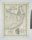
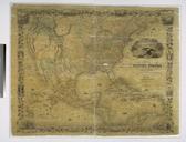
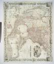
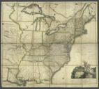
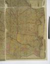
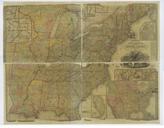
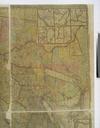
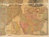
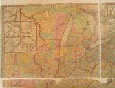
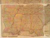
Map of the eastern and middle states c. and also the British Provinces NYPL b. en Engraved on steel to show the connection of the sectional maps in Appletons' railroad and steamboat companion No Insets Land and water routes from Cleveland to Detroit Chicago Falls of Niagara National Endowment for the Humanities Grant for Access