Related Images


Download:
| Tiny | 92x128 | View | Download |
| Small | 185x256 | View | Download |
| Medium | 370x512 | View | Download |
| Large | 740x1024 | View | Download |
| Original tiff | 8416x11638 | View | Download |
| Original as jpg | 8416x11638 | View | Download |
This image was acquired from
wikimedia. It was marked as Public Domain or CC0 and is free to use. To verify, go to the source and check the information there.
Looking for more info about this image?
Try a Google Reverse Image Search for it.
Try a Google Reverse Image Search for it.
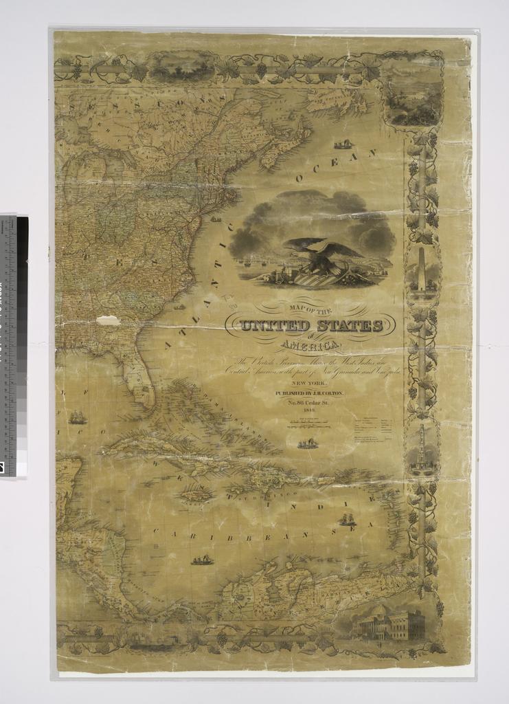
Keywords from Image Description:
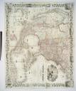
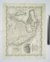
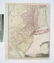
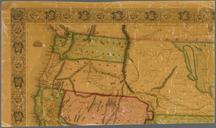
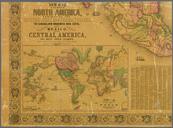
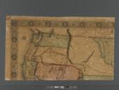
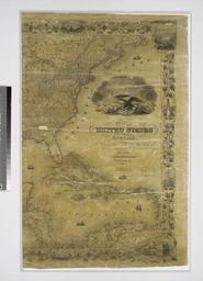
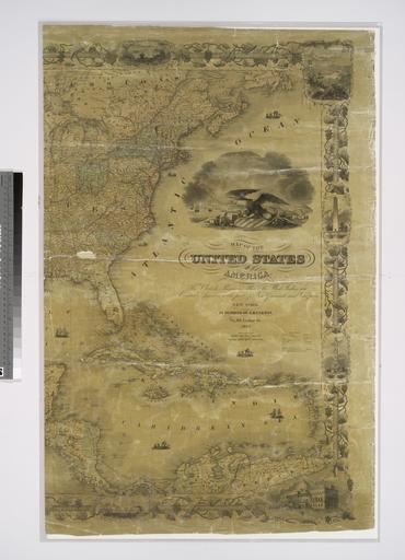
Map of the United States of America the British provinces Mexico the West Indies and Central America with part of New Granada and Venezuela NYPL b. en Includes ill and decorative border Inset Map of the Atlantic ocean showing the American European ports and the routes of the ocean steamers National Endowment for the Humanities Grant