Related Images

Download:
| Tiny | 118x128 | View | Download |
| Small | 237x256 | View | Download |
| Medium | 474x512 | View | Download |
| Large | 949x1024 | View | Download |
| Original tiff | 5248x5658 | View | Download |
| Original as jpg | 5248x5658 | View | Download |
This image was acquired from
wikimedia. It was marked as Public Domain or CC0 and is free to use. To verify, go to the source and check the information there.
Looking for more info about this image?
Try a Google Reverse Image Search for it.
Try a Google Reverse Image Search for it.
Keywords from Image Description:
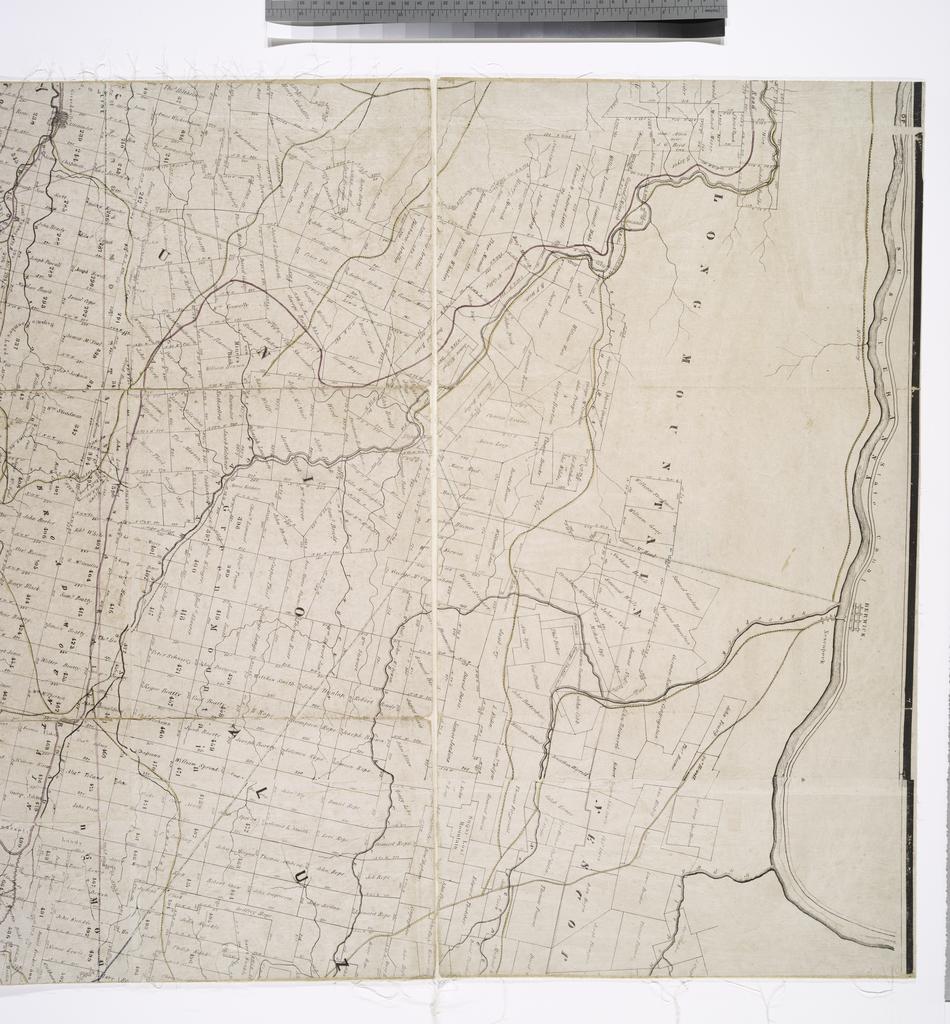
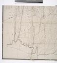
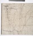
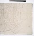
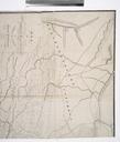
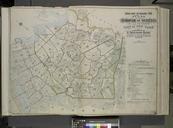
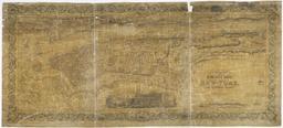
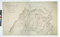
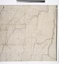
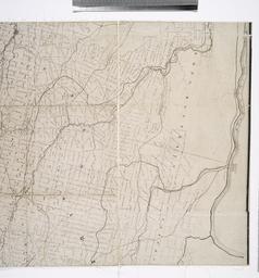
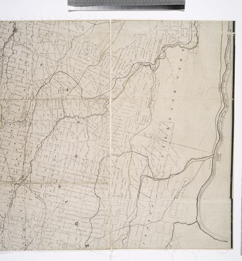
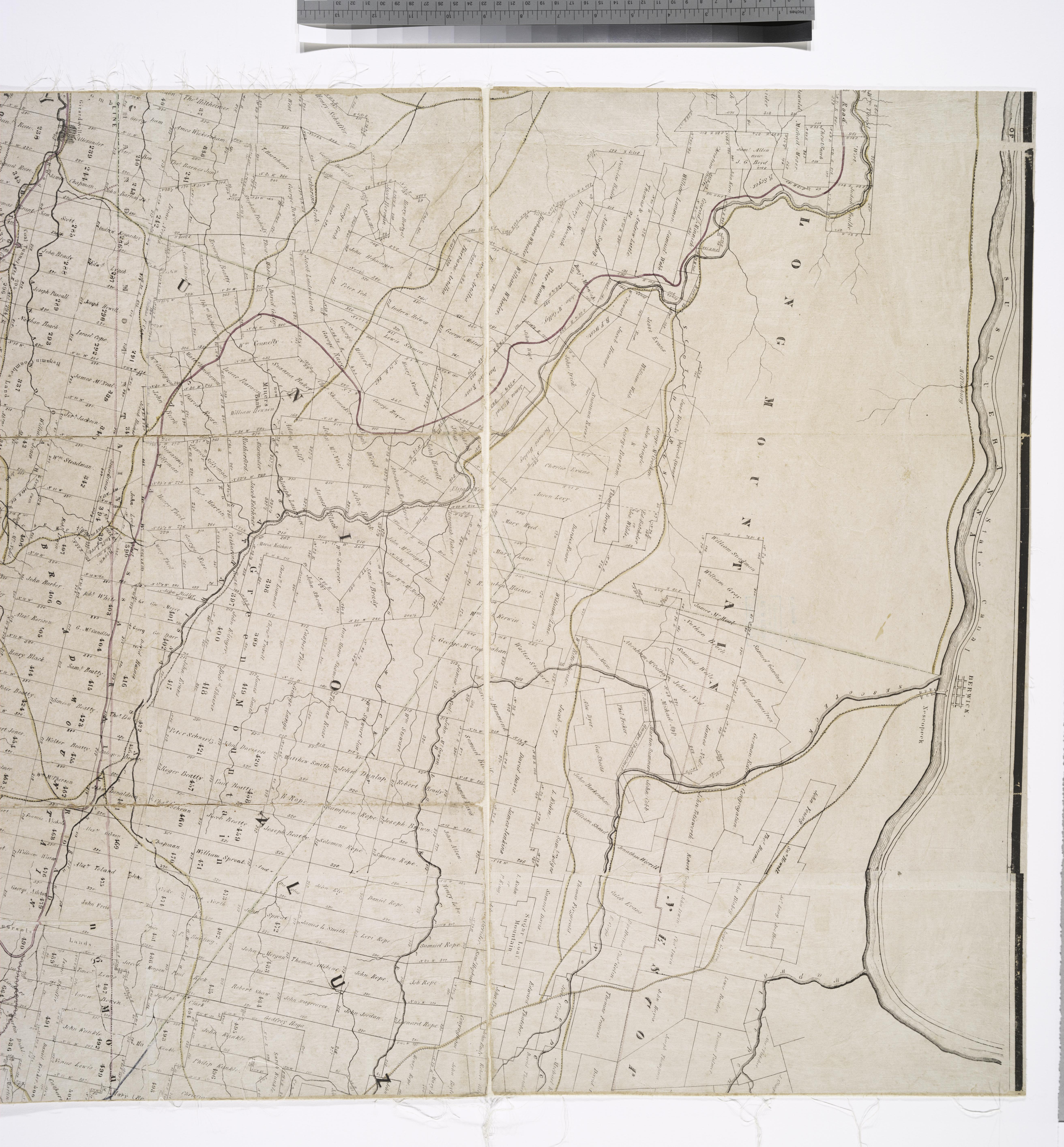
Map of the first and second anthracite coal fields NYPL b. en National Endowment for the Humanities Grant for Access to Early Maps of the Middle Atlantic Seaboard Covers Luzerne Union Columbia Northumberland Schuylkill and Northampton counties Shows county and town lines railroads and proposed railroads Also shows property owners'