Related Images


Download:
| Tiny | 208x128 | View | Download |
| Small | 417x256 | View | Download |
| Medium | 835x512 | View | Download |
| Large | 1670x1024 | View | Download |
| Original tiff | 9778x5995 | View | Download |
| Original as jpg | 9778x5995 | View | Download |
This image was acquired from
wikimedia and nypl. It was marked as Public Domain or CC0 and is free to use. To verify, go to the source and check the information there.
Looking for more info about this image?
Try a Google Reverse Image Search for it.
Try a Google Reverse Image Search for it.
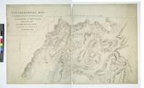
Keywords from Image Description:
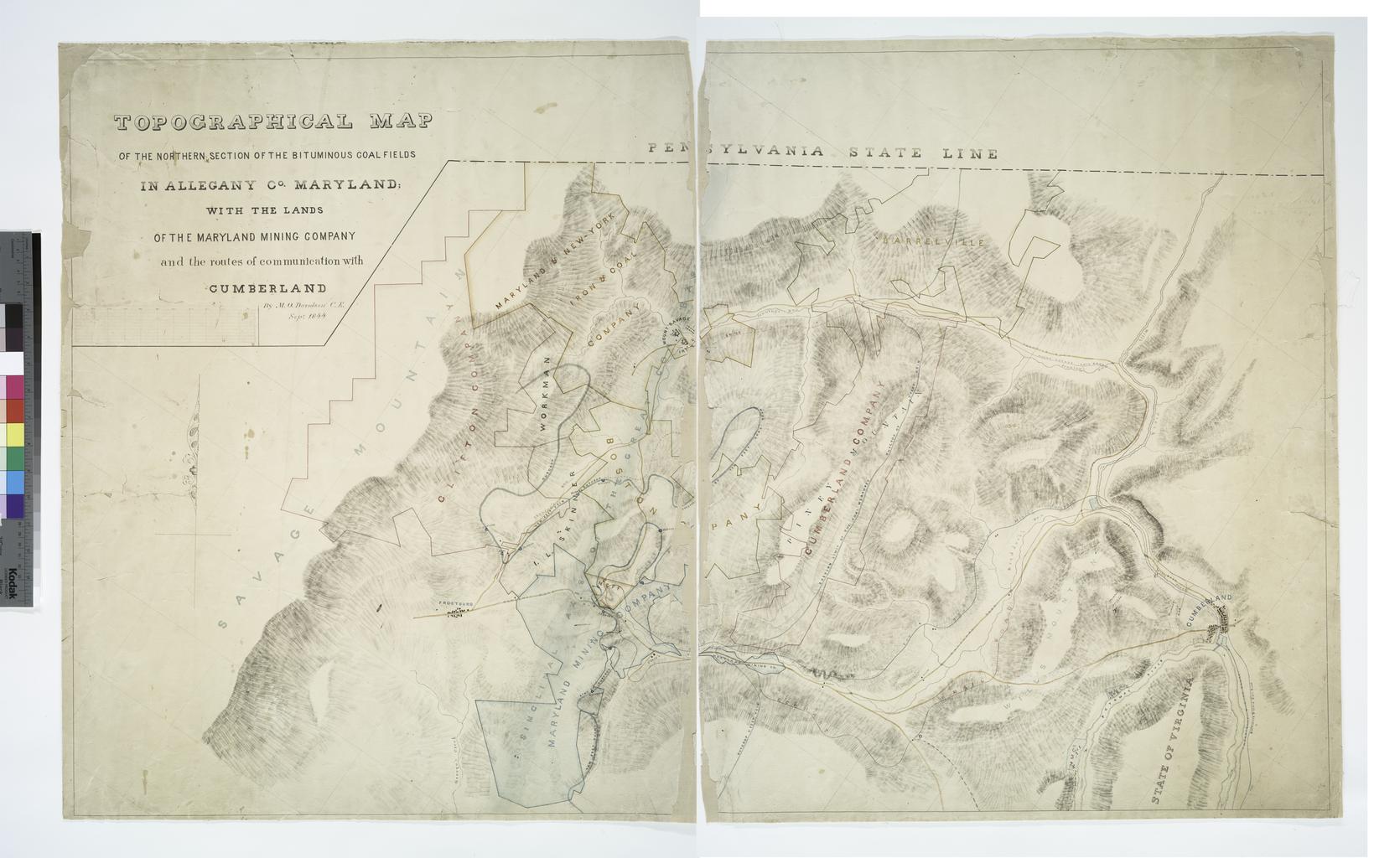
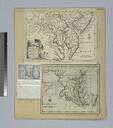
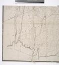
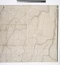
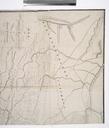
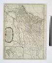
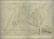
Topographical map of the northern section of the bituminous coal fields in Allegany Co. Maryland with the lands of the Maryland Mining Company and the routes of communication with NYPL. Topographical map of the northern section of the bituminous coal fields in Allegany Co Maryland with the lands of the Maryland Mining Company and