Related Images


Download:
| Tiny | 143x128 | View | Download |
| Small | 287x256 | View | Download |
| Medium | 574x512 | View | Download |
| Large | 1148x1024 | View | Download |
| Original | 2237x1995 | View | Download |
This image was acquired from
wikimedia. It was marked as Public Domain or CC0 and is free to use. To verify, go to the source and check the information there.
Looking for more info about this image?
Try a Google Reverse Image Search for it.
Try a Google Reverse Image Search for it.
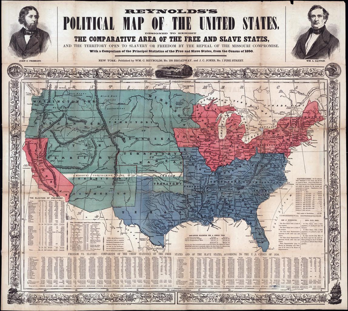
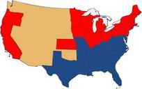
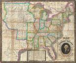
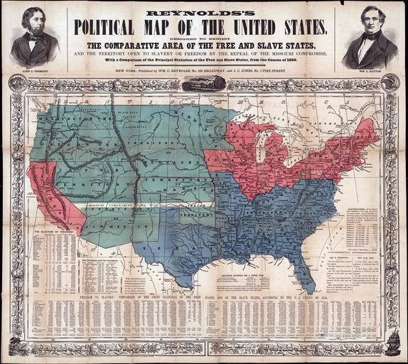
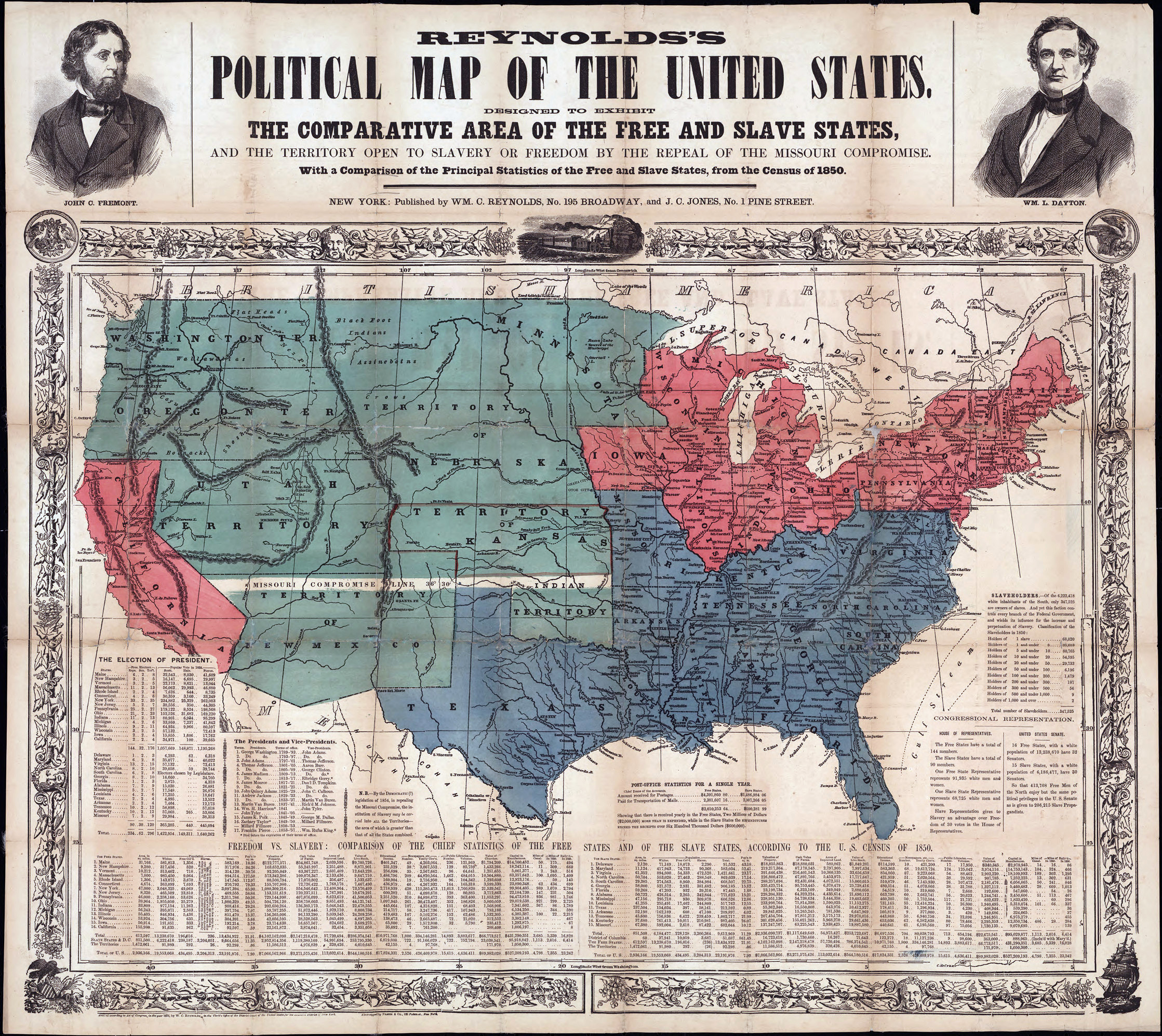
Keywords from Image Description:
Map of Free and Slave States. en Printed on map Designed to exhibit the comparative area of the free and slave states and the territory open to slavery or freedom by the repeal of the Missouri compromise With comparison of the principal statistics of the free and slave states from the census of Portraits of John Fremont and Dayton