Related Images


Download:
| Tiny | 169x128 | View | Download |
| Small | 339x256 | View | Download |
| Medium | 679x512 | View | Download |
| Large | 1359x1024 | View | Download |
| Original | 8321x6266 | View | Download |
This image was acquired from
wikimedia. It was marked as Public Domain or CC0 and is free to use. To verify, go to the source and check the information there.
Looking for more info about this image?
Try a Google Reverse Image Search for it.
Try a Google Reverse Image Search for it.
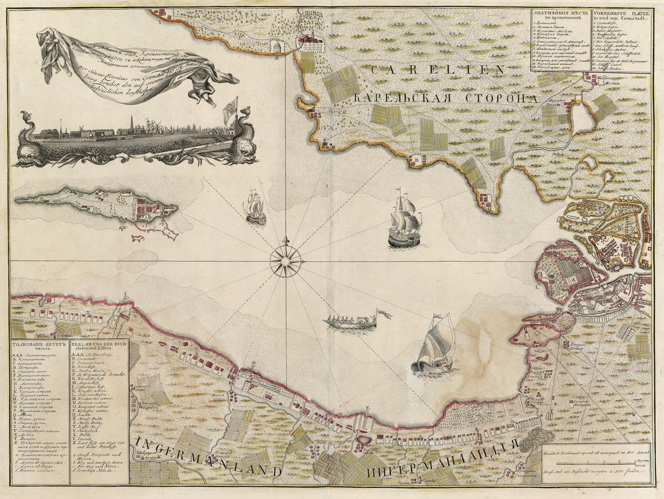
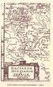
Keywords from Image Description:
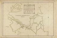
Map of Gulf of Finland first half of XVIII century. XVIII Map of Gulf of Finland from Kronstadt to St Petersburg in first half of XVIII century In Russian and Deutsch Old map author PDold Old maps of the Russian Empire Maps of Gulf of Finland