Related Images


Download:
| Tiny | 143x128 | View | Download |
| Small | 286x256 | View | Download |
| Medium | 573x512 | View | Download |
| Original png | 598x534 | View | Download |
| Original as jpg | 598x534 | View | Download |
This image was acquired from
wikimedia. It was marked as Public Domain or CC0 and is free to use. To verify, go to the source and check the information there.
Looking for more info about this image?
Try a Google Reverse Image Search for it.
Try a Google Reverse Image Search for it.
Keywords from Image Description:
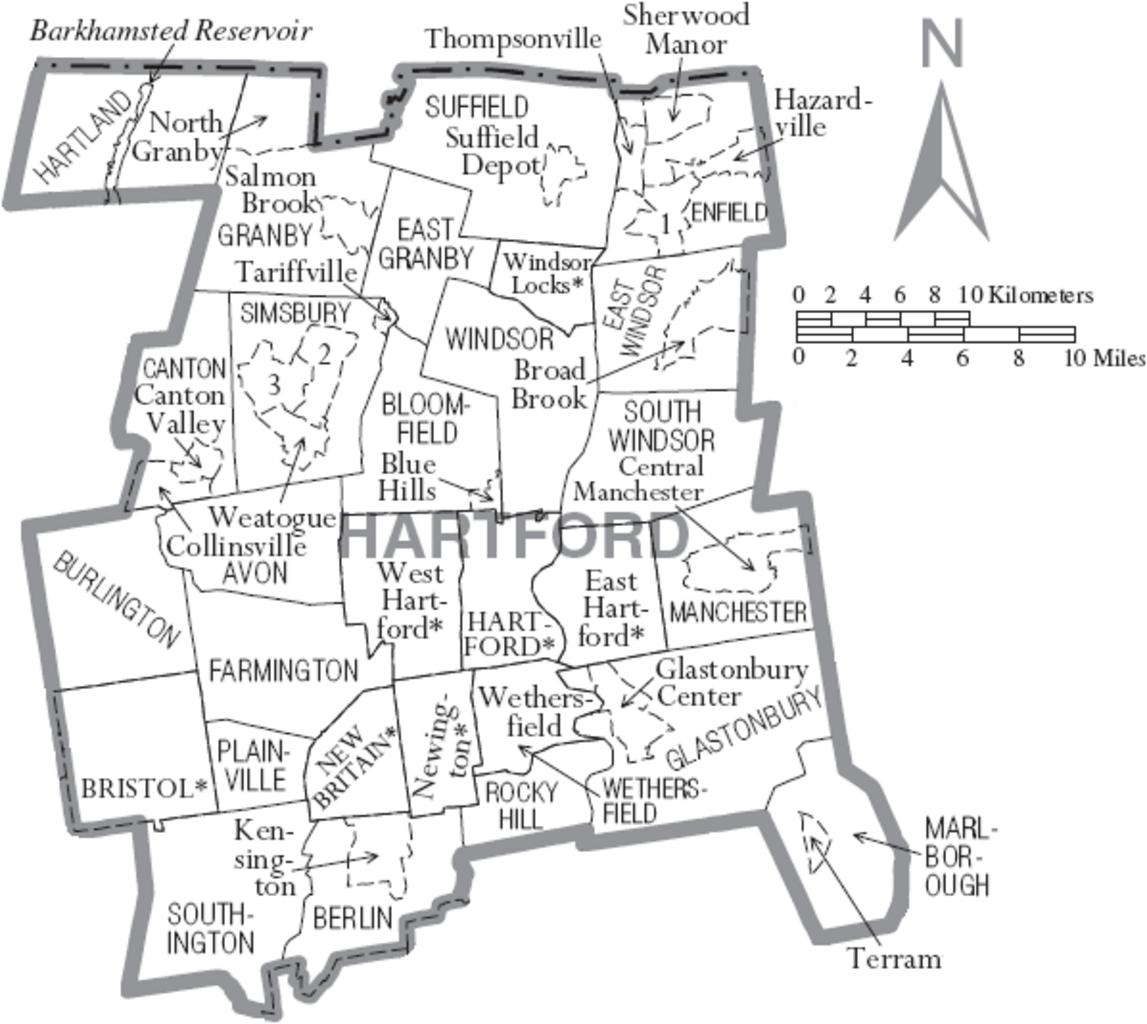
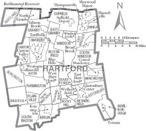
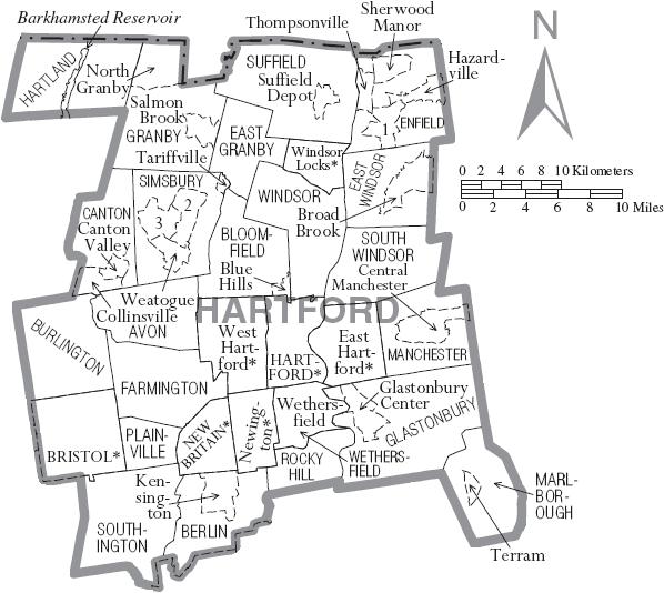
Map of Hartford County Connecticut With Municipal Labels. Map of Hartford County Connecticut United States with township and municipal boundaries No copyrighted material was used some government material was used census gov pdf here Taken from the US Census website click census gov pdf here to view the exact location on their