Related Images


This image was acquired from
wikimedia. It was marked as Public Domain or CC0 and is free to use. To verify, go to the source and check the information there.
Looking for more info about this image?
Try a Google Reverse Image Search for it.
Try a Google Reverse Image Search for it.
Keywords from Image Description:
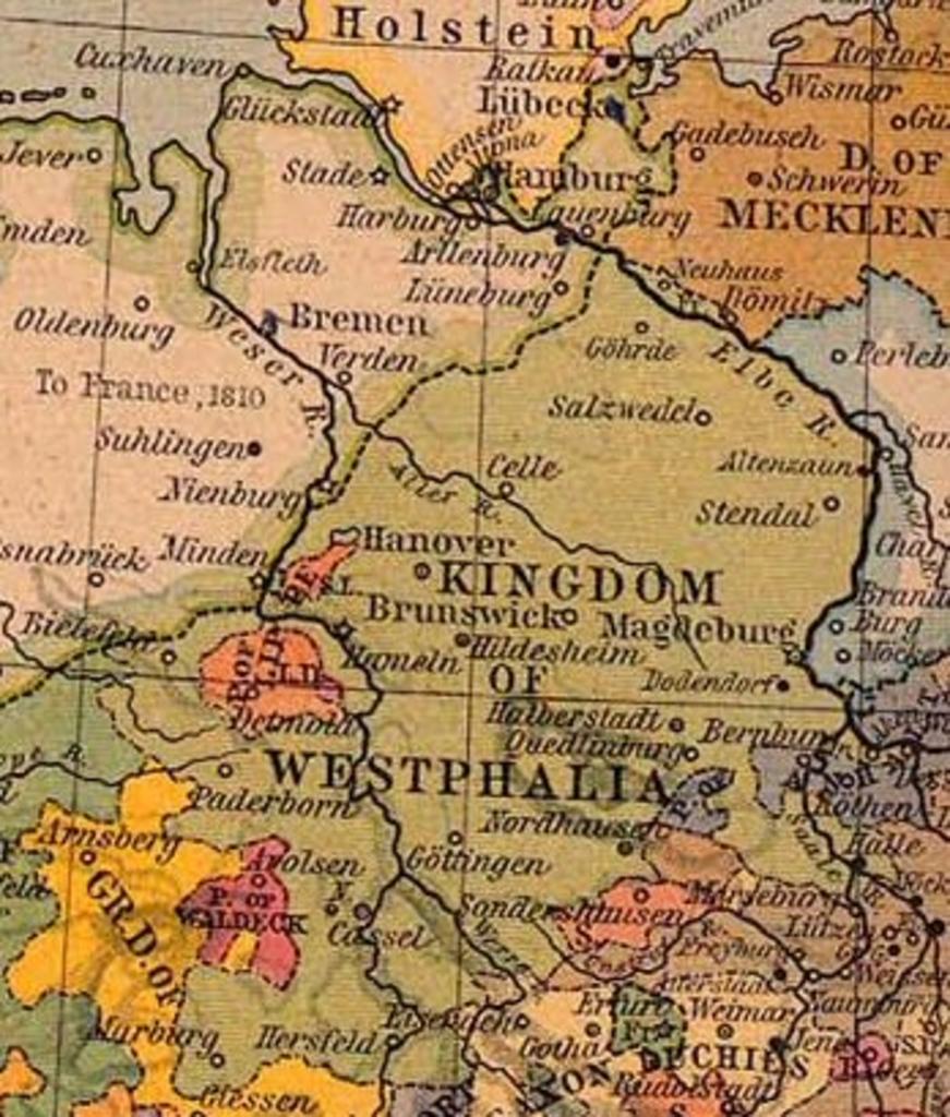
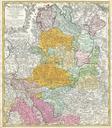
Map Kingdom of Westphalia. Koninkrijk Westfalen centraleurope historical From The Historical Atlas by William Shepherd Creator William Shepherd PCL states map is PD PDoldauto PDUSnotrenewed page is org php title Image AKWestfalen here All user names refer to nl Knsterle bytes no Westfalen vrij te gebruiken voor educatieve