
Related Images


Download:
| Tiny | 143x128 | View | Download |
| Small | 287x256 | View | Download |
| Medium | 574x512 | View | Download |
| Large | 1148x1024 | View | Download |
| Original | 5000x4458 | View | Download |
This image was acquired from
wikimedia. It was marked as Public Domain or CC0 and is free to use. To verify, go to the source and check the information there.
Looking for more info about this image?
Try a Google Reverse Image Search for it.
Try a Google Reverse Image Search for it.
Keywords from Image Description:
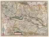
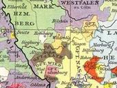
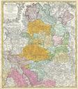
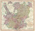
Cary Map of the Upper and Lower Rhine Geographicus Rhinecary. An extremely attractive example of John Cary map of the Upper and Lower Rhine Germany Covers Westphalia south to France and Swabia Bordered on the west by the Netherlands and on the east by Franconia Includes the important cities of Cologne Koln and Frankfurt Highly