Related Images

Download:
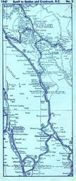
| Tiny | 54x128 | View | Download |
| Small | 108x256 | View | Download |
| Medium | 216x512 | View | Download |
| Large | 432x1024 | View | Download |
| Original | 664x1572 | View | Download |
This image was acquired from
flickr. It was marked as Public Domain or CC0 and is free to use. To verify, go to the source and check the information there.
Looking for more info about this image?
Try a Google Reverse Image Search for it.
Try a Google Reverse Image Search for it.
Keywords from Image Description:
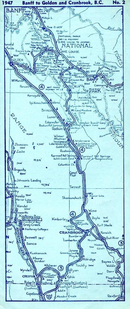
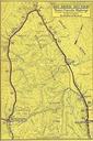
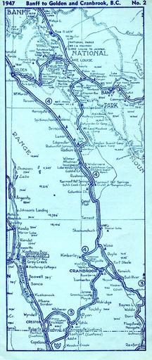
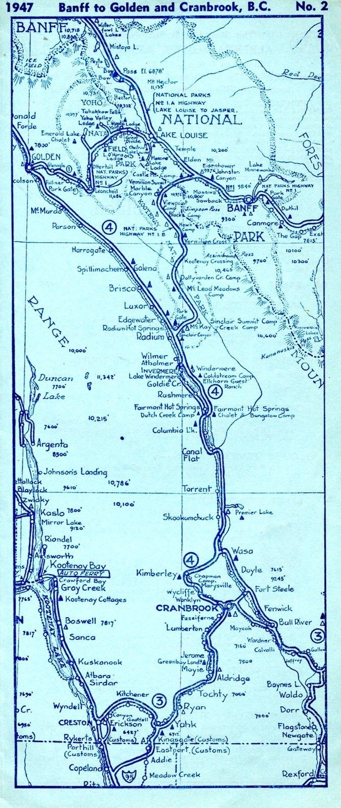
drawing map sketch cartoon text ampquotBanff to Golden and Cranbrook B.C. No. ampquot From travel map pamphlet Map of old BC Highway The KootenayColumbia Highway showing route from U.S. border to Banff Lake Louise and Golden via Cranbrook and Radium. Designated BC Hwy. in became Hwy. in . Hwy. was added and combined to the