Related Images


Download:
| Tiny | 170x128 | View | Download |
| Small | 340x256 | View | Download |
| Medium | 681x512 | View | Download |
| Large | 1362x1024 | View | Download |
| Original tiff | 10328x7760 | View | Download |
| Original as jpg | 10328x7760 | View | Download |
This image was acquired from
wikimedia. It was marked as Public Domain or CC0 and is free to use. To verify, go to the source and check the information there.
Looking for more info about this image?
Try a Google Reverse Image Search for it.
Try a Google Reverse Image Search for it.
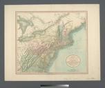
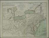
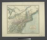
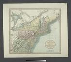
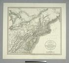
Keywords from Image Description:
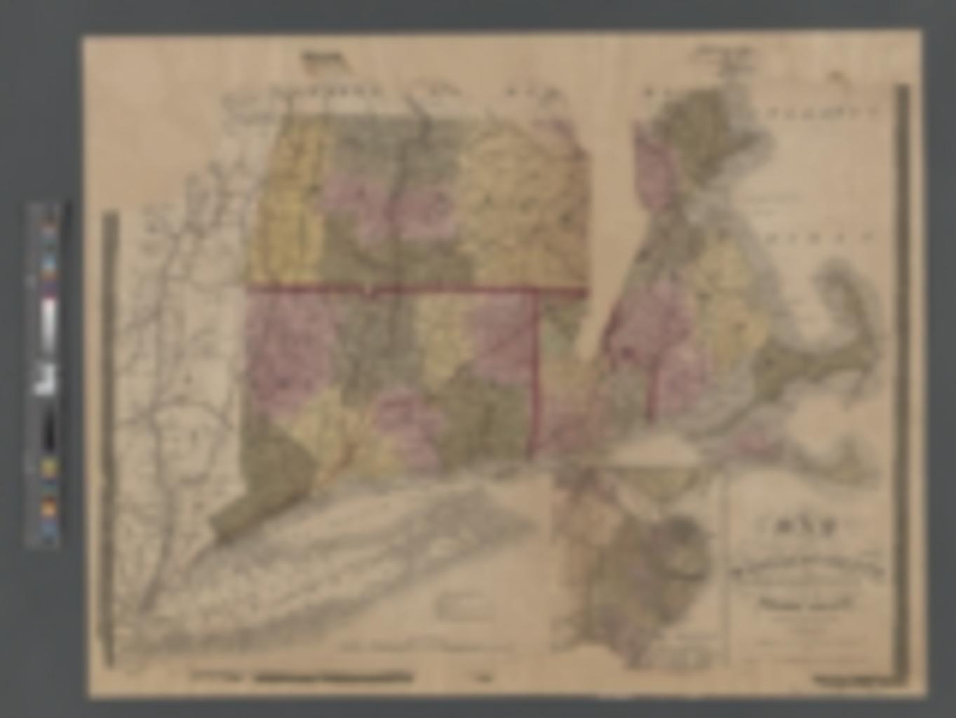
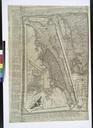
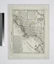
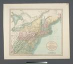
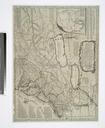
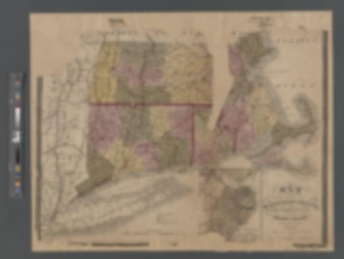
Map of Massachusetts Connecticut and Rhode Island NYPL b. en Relief shown pictorially Also covers the Hudson River Valley to the confluence of the Mohawk and Long Island Shows roads canals actual and proposed and railroads actual and proposed Longitude in degrees west from Greenwich and east from Washington Colored by county borders