Related Images


Download:
| Tiny | 170x128 | View | Download |
| Small | 340x256 | View | Download |
| Medium | 681x512 | View | Download |
| Large | 1363x1024 | View | Download |
| Original tiff | 7230x5428 | View | Download |
| Original as jpg | 7230x5428 | View | Download |
This image was acquired from
wikimedia. It was marked as Public Domain or CC0 and is free to use. To verify, go to the source and check the information there.
Looking for more info about this image?
Try a Google Reverse Image Search for it.
Try a Google Reverse Image Search for it.
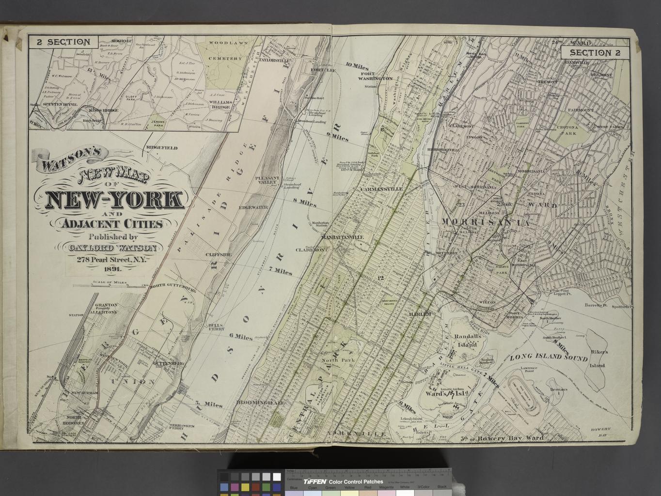
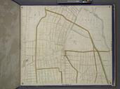
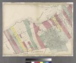
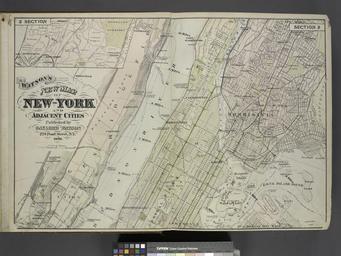
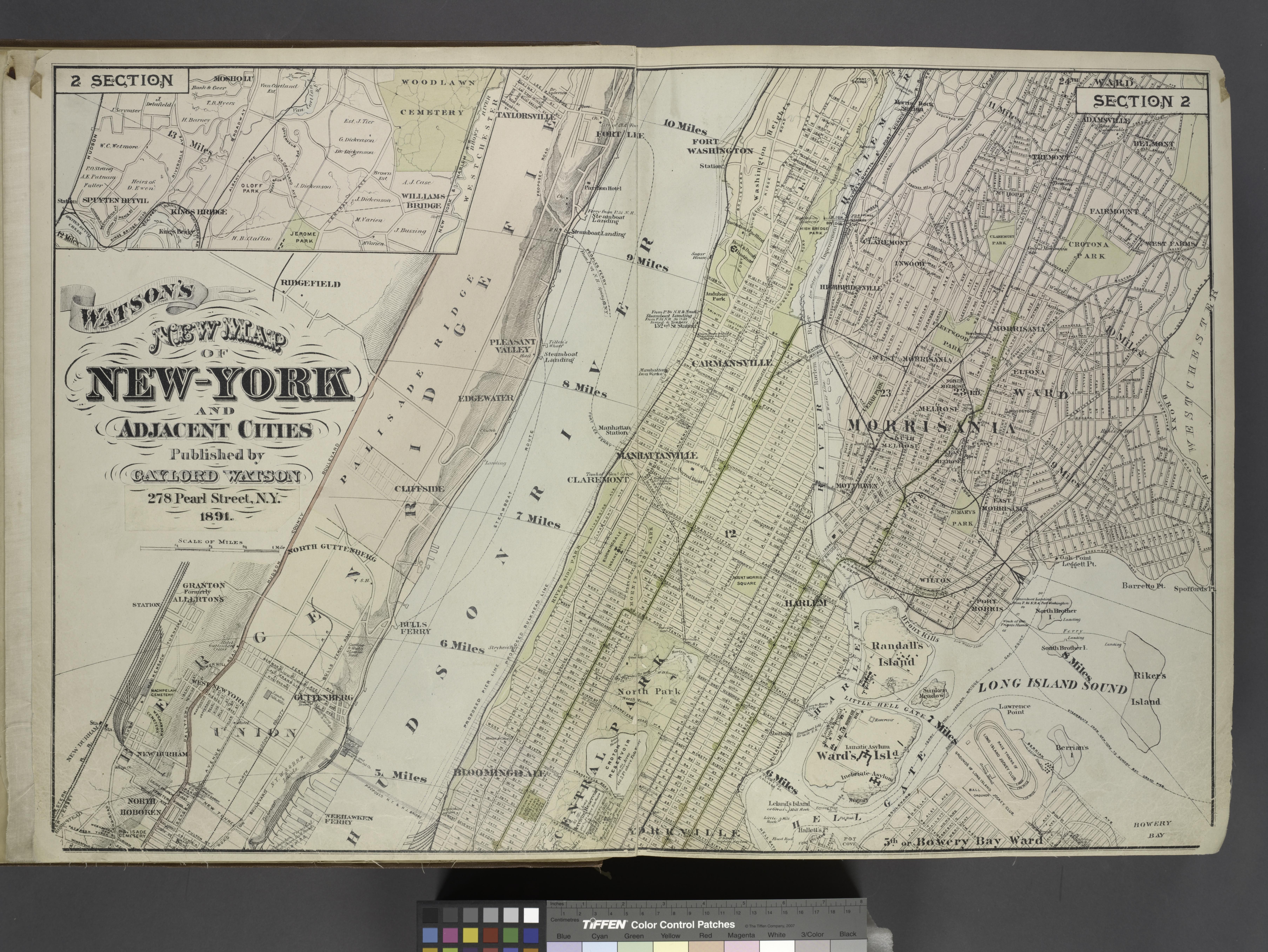
Keywords from Image Description:
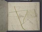
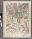
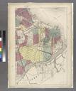
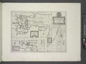
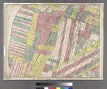
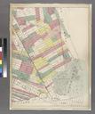
Map of New York and Adjacent Cities NYPL. Information Frederick Cartographer Beers Map of New York and Adjacent Cities Atlases of the United States New York Atlas of the Hudson River Valley from New York city to Troy including section of about miles in width Published by Watson and co Compiled from official records and careful