Related Images


Download:
| Tiny | 170x128 | View | Download |
| Small | 341x256 | View | Download |
| Original svg | 633x475 | View | Download |
| Original as jpg | 633x475 | View | Download |
This image was acquired from
wikimedia. It was marked as Public Domain or CC0 and is free to use. To verify, go to the source and check the information there.
Looking for more info about this image?
Try a Google Reverse Image Search for it.
Try a Google Reverse Image Search for it.
Keywords from Image Description:
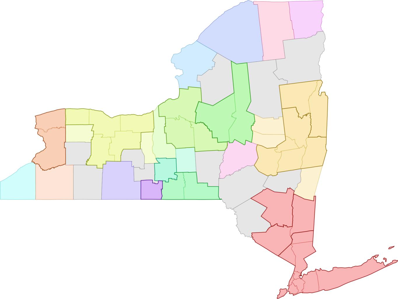
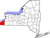
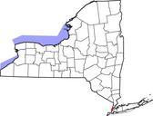
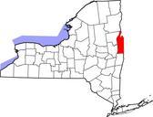
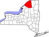
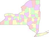
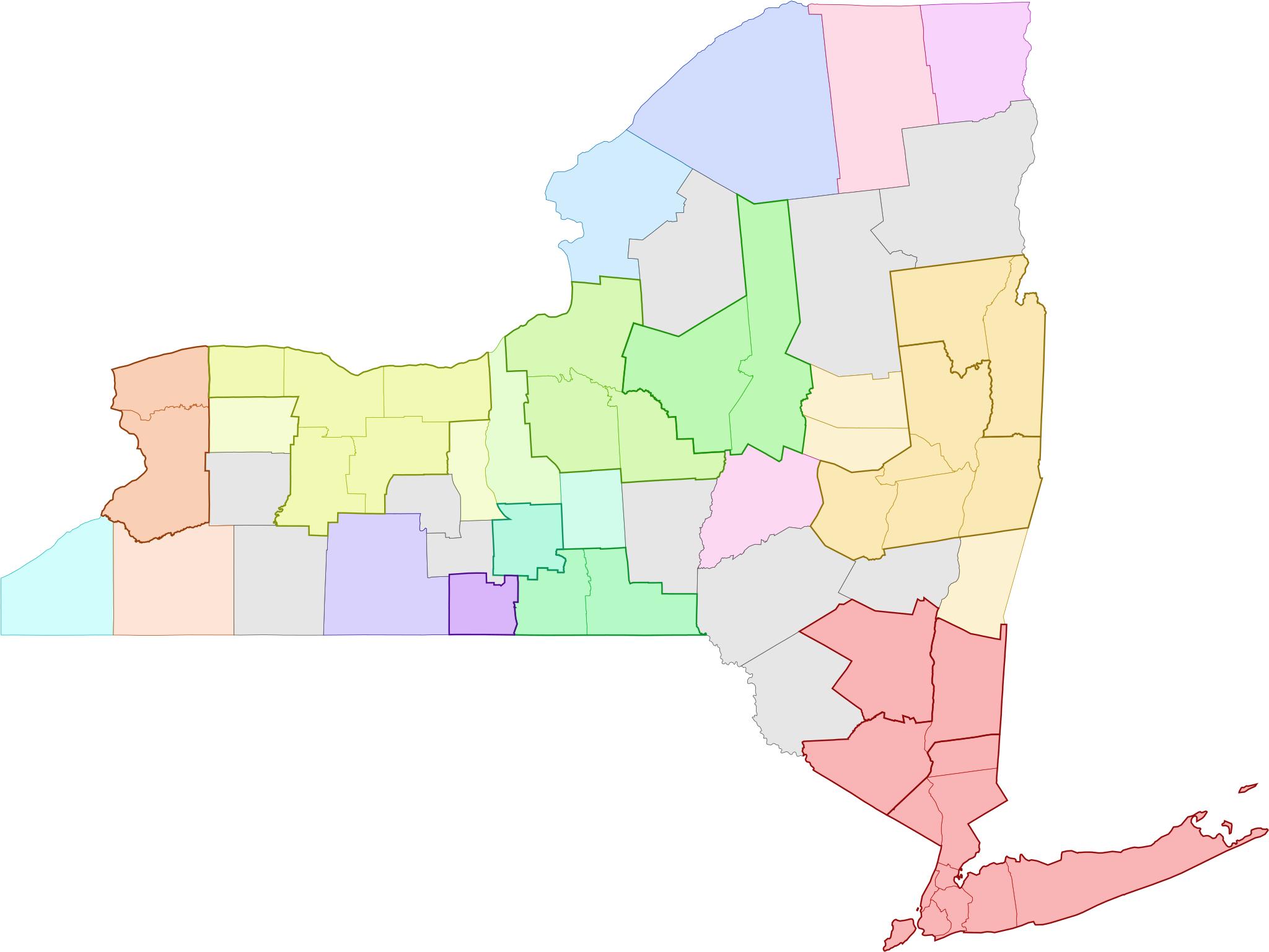
Map of New York Metropolitan Areas.svg Map showing the census statistical areas in the state of New York Combined Statistical Areas are colorcoded Metropolitan Statistical Areas are outlined in thick outline Micropolitan Statistical Areas are lightercolored and have thinner outline Counties that are not within census statistical