Related Images


Download:
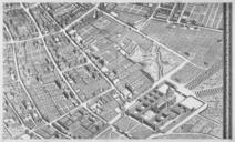
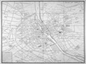
| Tiny | 221x128 | View | Download |
| Small | 443x256 | View | Download |
| Medium | 887x512 | View | Download |
| Large | 1775x1024 | View | Download |
| Original | 2768x1596 | View | Download |
This image was acquired from
wikimedia. It was marked as Public Domain or CC0 and is free to use. To verify, go to the source and check the information there.
Looking for more info about this image?
Try a Google Reverse Image Search for it.
Try a Google Reverse Image Search for it.
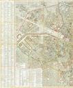
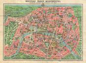
Keywords from Image Description:
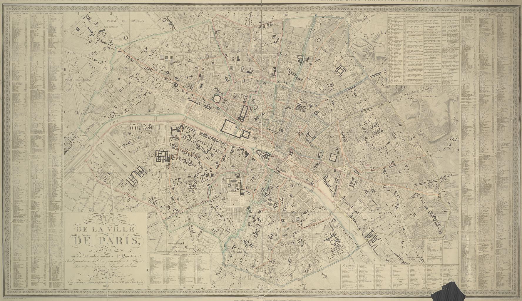
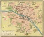
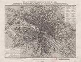
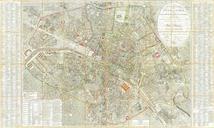
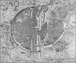
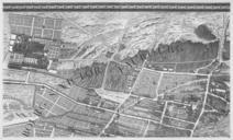
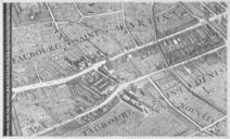
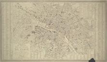
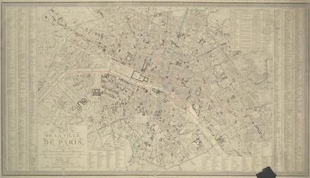
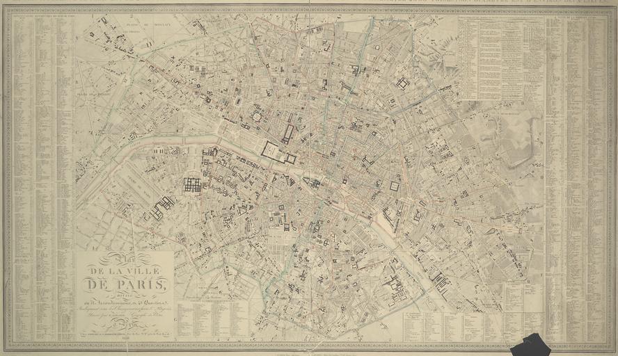
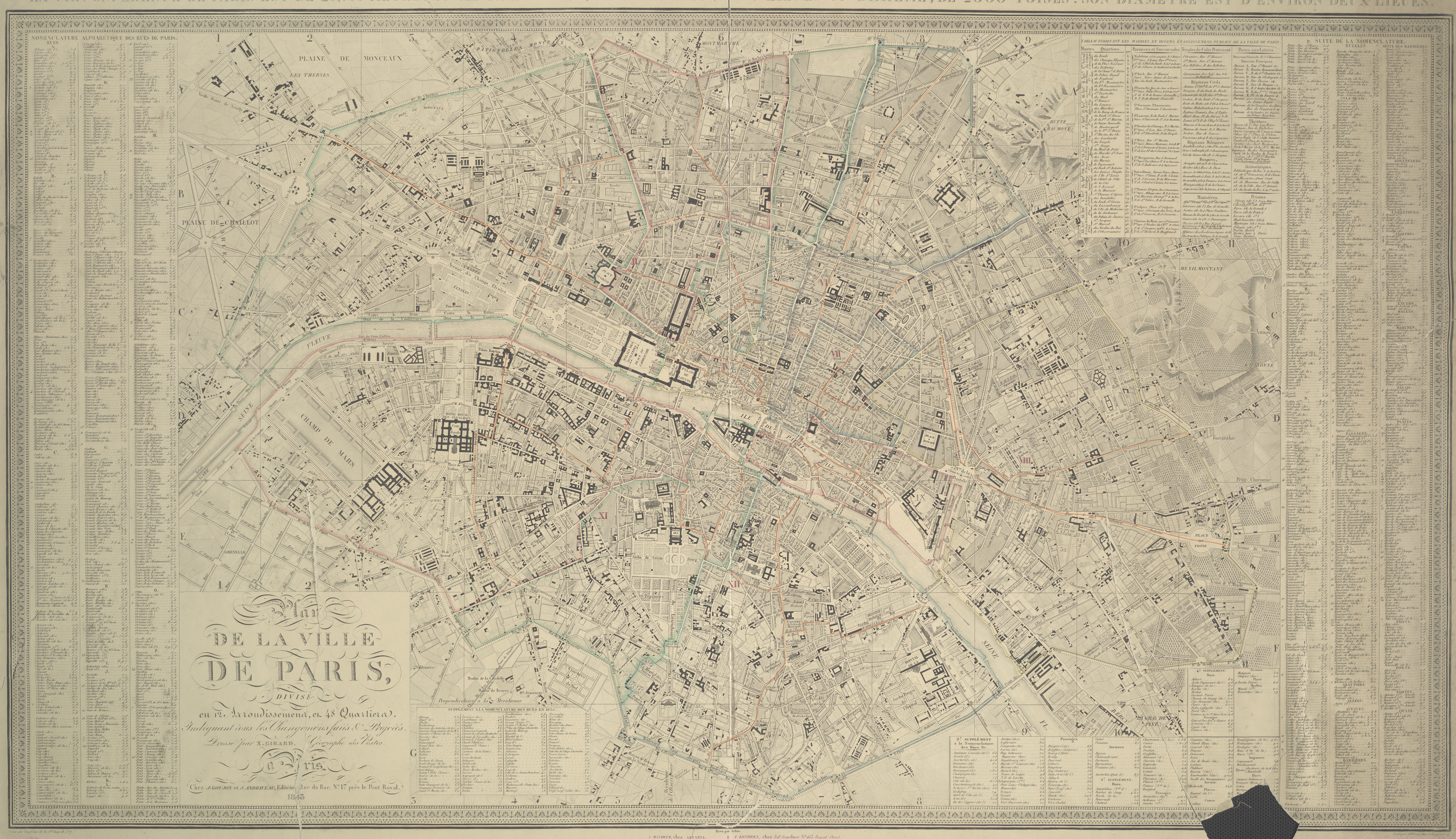
Map of Paris pari. Plan de la ville de Paris divis en arrondissements en quartiers indiquant tous les changemens faits et projets This plan of Paris illustrates the city's layout by arrondissement before the annexation of the Parisian communes In an attempt to improve the economic conditions of the Parisian suburbs Napolon III