
Related Images


Download:
| Tiny | 170x128 | View | Download |
| Small | 340x256 | View | Download |
| Medium | 681x512 | View | Download |
| Large | 1362x1024 | View | Download |
| Original tiff | 10328x7760 | View | Download |
| Original as jpg | 10328x7760 | View | Download |
This image was acquired from
wikimedia. It was marked as Public Domain or CC0 and is free to use. To verify, go to the source and check the information there.
Looking for more info about this image?
Try a Google Reverse Image Search for it.
Try a Google Reverse Image Search for it.
Keywords from Image Description:
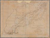
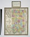
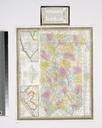
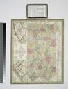
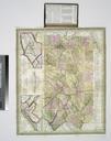
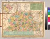
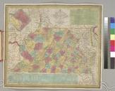
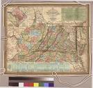
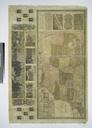
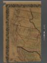
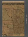
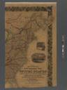
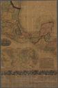
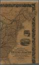
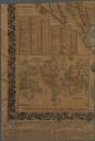
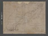
Map of reconnaissance exhibiting the country between Washington and New Orleans NYPL b. en Relief shown by hachures Prime meridian Washington Longitude coordinates expressed here as measured from Greenwich Details three alternate routes and includes straight line showing the shortest distance between Washington and New Orleans with