
Related Images


Download:
| Tiny | 170x128 | View | Download |
| Small | 341x256 | View | Download |
| Medium | 682x512 | View | Download |
| Large | 1365x1024 | View | Download |
| Original | 2816x2112 | View | Download |
This image was acquired from
wikimedia. It was marked as Public Domain or CC0 and is free to use. To verify, go to the source and check the information there.
Looking for more info about this image?
Try a Google Reverse Image Search for it.
Try a Google Reverse Image Search for it.
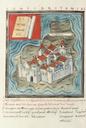
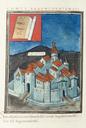
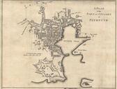
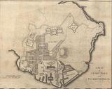
Keywords from Image Description:
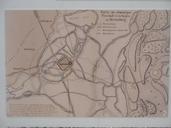
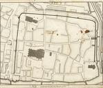
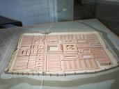
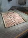
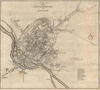
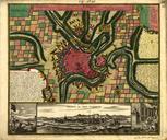
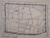
Map of the Roman town of Argentoratum. en Map of the Roman town of Argentoratum at the th century after in the archeological museum of Strasbourg BasRhin France With the drawing of the streets of today and the place of the cathedral The NorthWest is at the top of the photo fr Plan de la ville romaine d'Argentoratum au sicle ap au