Related Images

Download:
| Tiny | 168x128 | View | Download |
| Small | 336x256 | View | Download |
| Medium | 672x512 | View | Download |
| Large | 1344x1024 | View | Download |
| Original | 1612x1228 | View | Download |
This image was acquired from
wikimedia. It was marked as Public Domain or CC0 and is free to use. To verify, go to the source and check the information there.
Looking for more info about this image?
Try a Google Reverse Image Search for it.
Try a Google Reverse Image Search for it.
Keywords from Image Description:
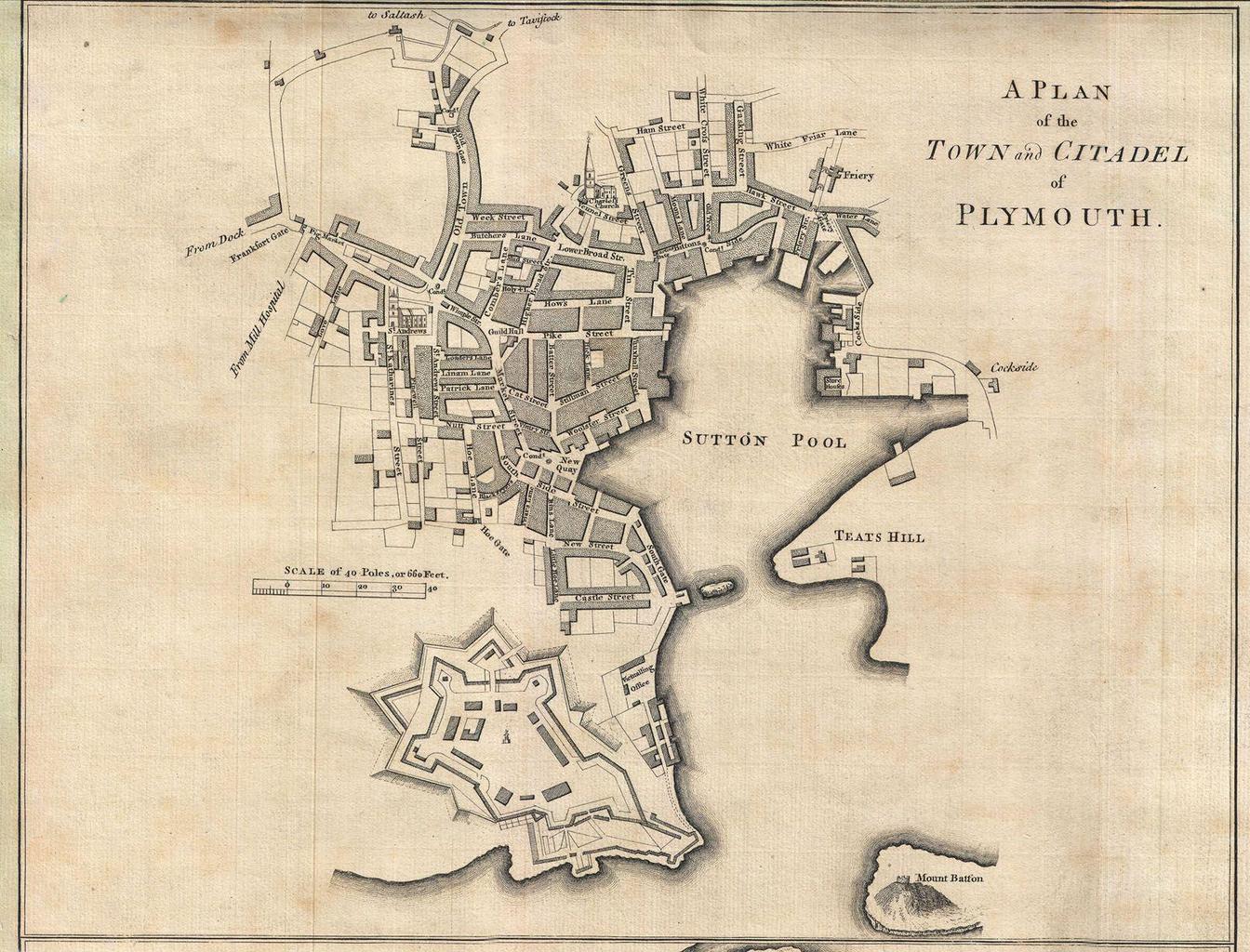
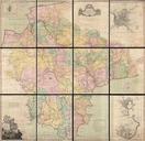
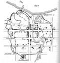
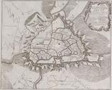
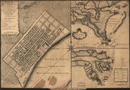
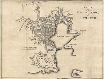
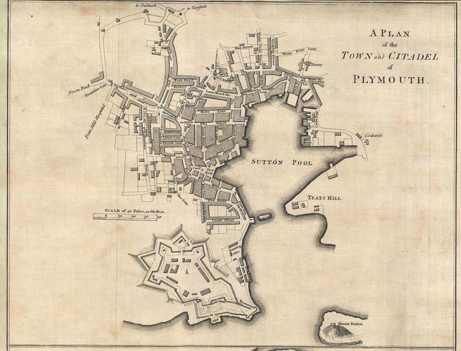
Plan of the Town and Citadel of Plymouth Benjamin Donn . LargeImage This is very rare and highly important wall map of Devonshire by Benjamin Donn Drawn in twelve panels this map covers the entirety of Devonshire or Devon from the English Channel to Barnstaple Bideford Bay and from Cornwall to Somerset at scale of inch to mile