Related Images


Download:
| Tiny | 102x128 | View | Download |
| Small | 205x256 | View | Download |
| Medium | 411x512 | View | Download |
| Large | 822x1024 | View | Download |
| Original | 1024x1275 | View | Download |
This image was acquired from
wikimedia. It was marked as Public Domain or CC0 and is free to use. To verify, go to the source and check the information there.
Looking for more info about this image?
Try a Google Reverse Image Search for it.
Try a Google Reverse Image Search for it.
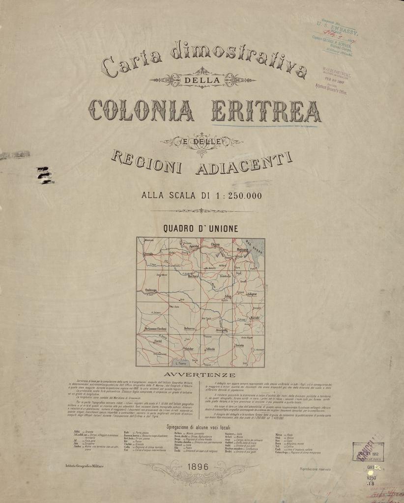
Keywords from Image Description:
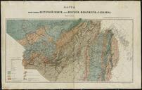
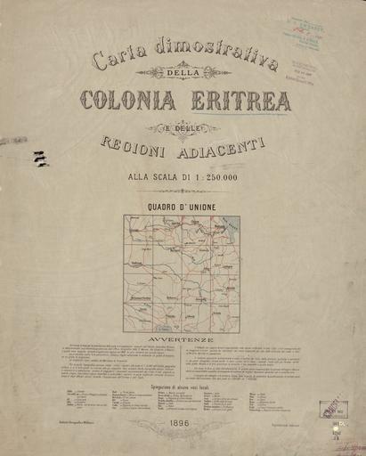
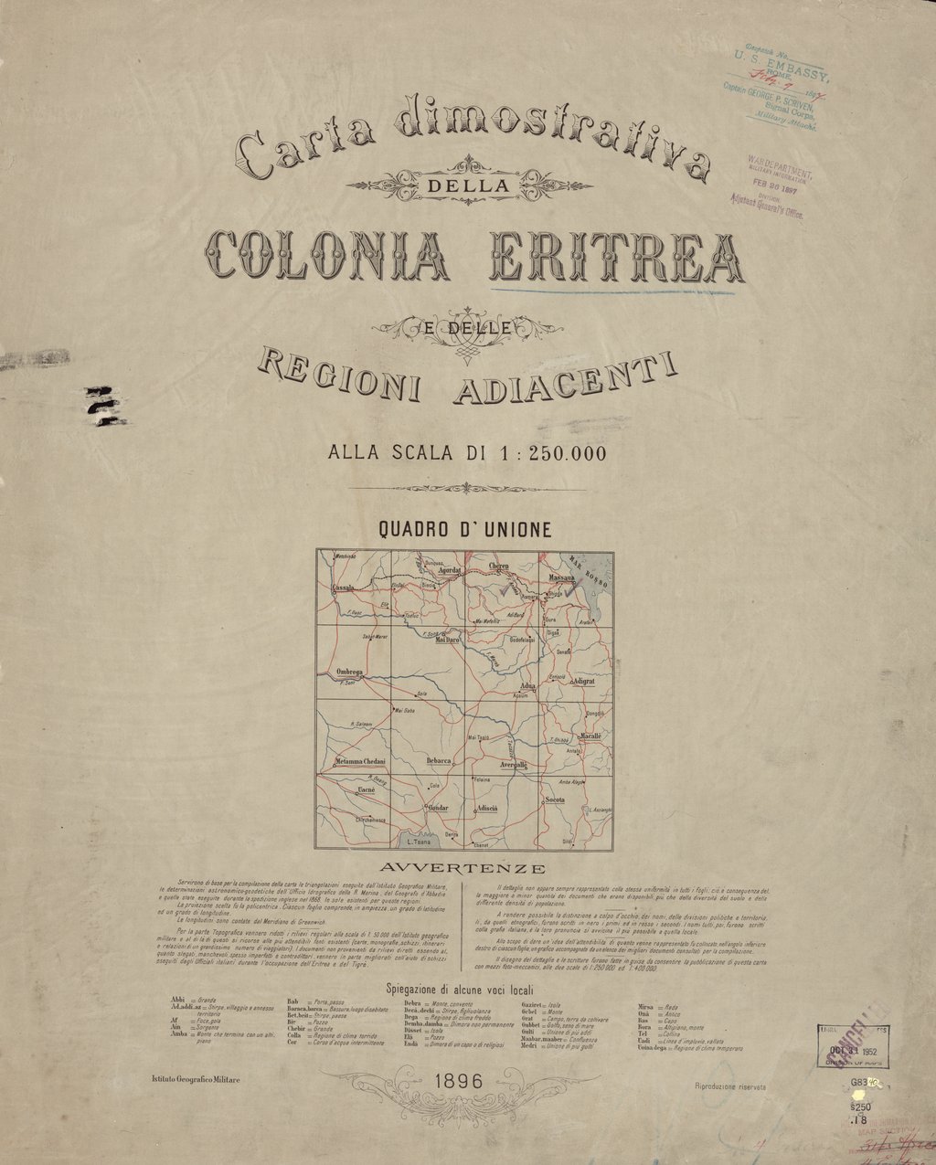
Map Showing the Colony of Eritrea and the Adjacent Regions Scale of WDL. Artwork ru fr Carte montrant la colonie de l'Erythre et ses rgions adjacentes Echelle de en Map Showing the Colony of Eritrea and the Adjacent Regions Scale of zh pt Mapa Mostrando Colnia da Eritreia das Regies Adjacentes na