
Related Images


Download:
| Tiny | 168x128 | View | Download |
| Small | 337x256 | View | Download |
| Medium | 675x512 | View | Download |
| Original png | 865x656 | View | Download |
| Original as jpg | 865x656 | View | Download |
This image was acquired from
wikimedia. It was marked as Public Domain or CC0 and is free to use. To verify, go to the source and check the information there.
Looking for more info about this image?
Try a Google Reverse Image Search for it.
Try a Google Reverse Image Search for it.
Keywords from Image Description:
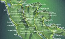
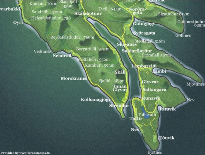
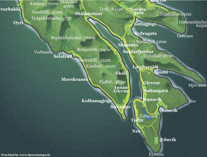
MapSklafjrursouthern part of Eysturoy. en Southern part of Eysturoy Islands with the Sklafjrur in the center of the map org Detailedmapeysturoy Anker Eli Petersen other versions Custom marker Postverk Froya Philatelic Office Topographic maps of the Faroe Islands Eysturoy