
Related Images


Download:
| Tiny | 213x128 | View | Download |
| Small | 427x256 | View | Download |
| Medium | 854x512 | View | Download |
| Large | 1709x1024 | View | Download |
| Original | 2003x1200 | View | Download |
This image was acquired from
wikimedia. It was marked as Public Domain or CC0 and is free to use. To verify, go to the source and check the information there.
Looking for more info about this image?
Try a Google Reverse Image Search for it.
Try a Google Reverse Image Search for it.
Keywords from Image Description:
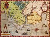
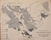
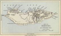
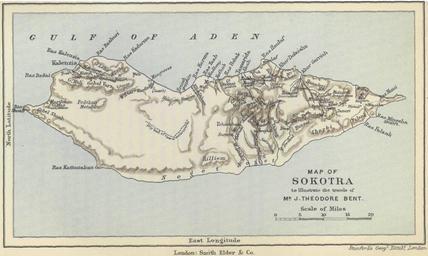
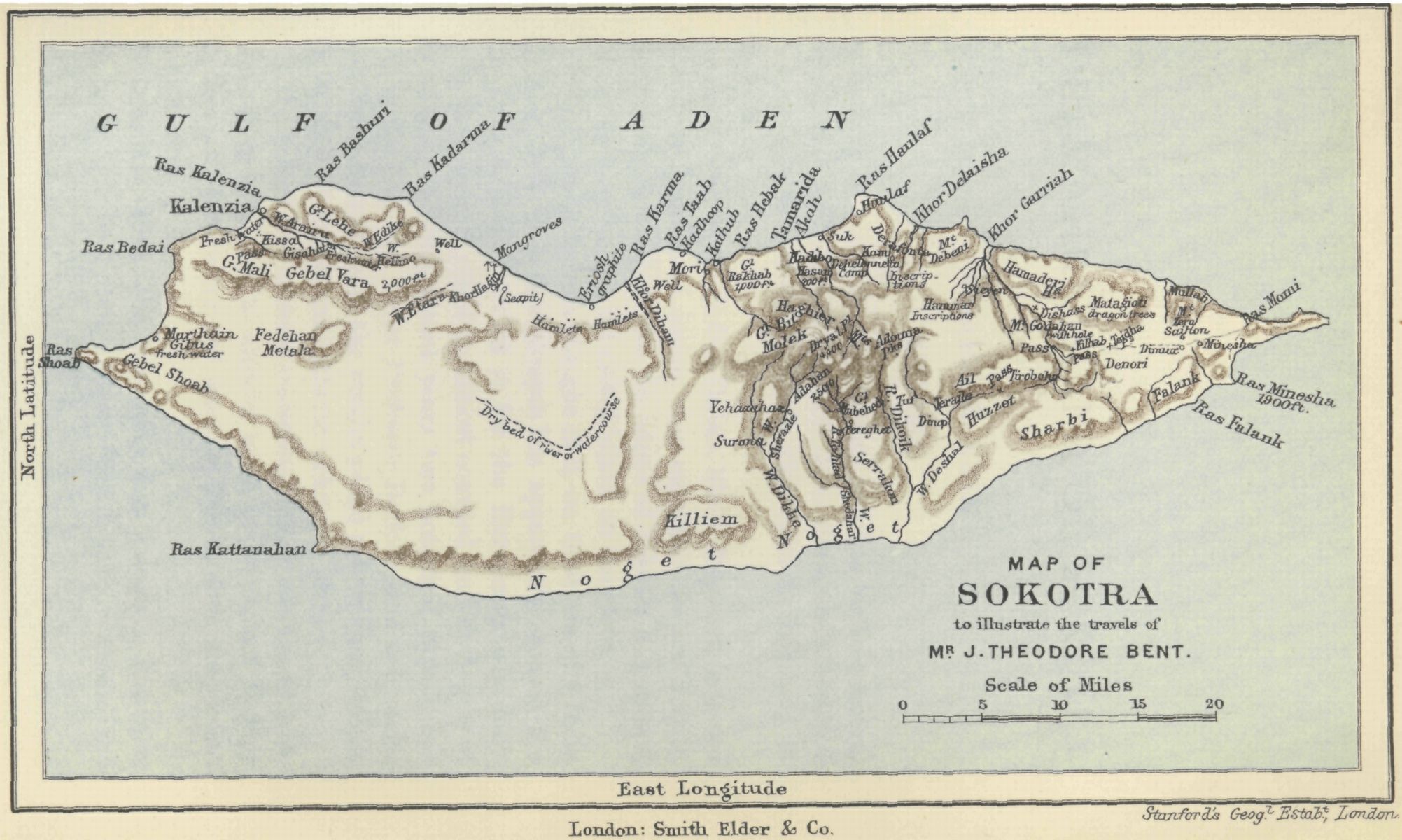
Map of Sokotra to illustrate the explorations of Theodore Bent. Map of Sokotra to illustrate the explorations of Theodore Bent gutenberg org Southern Arabia Illustration by Stanford's Geographic Establishment book by Theodore Bent PDGutenberg PDold Theodore Bent Maps of Socotra