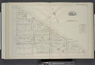
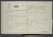
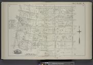
Related Images


Download:
| Tiny | 198x128 | View | Download |
| Small | 396x256 | View | Download |
| Medium | 793x512 | View | Download |
| Large | 1586x1024 | View | Download |
| Original | 1935x1249 | View | Download |
This image was acquired from
wikimedia. It was marked as Public Domain or CC0 and is free to use. To verify, go to the source and check the information there.
Looking for more info about this image?
Try a Google Reverse Image Search for it.
Try a Google Reverse Image Search for it.
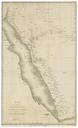
Keywords from Image Description:
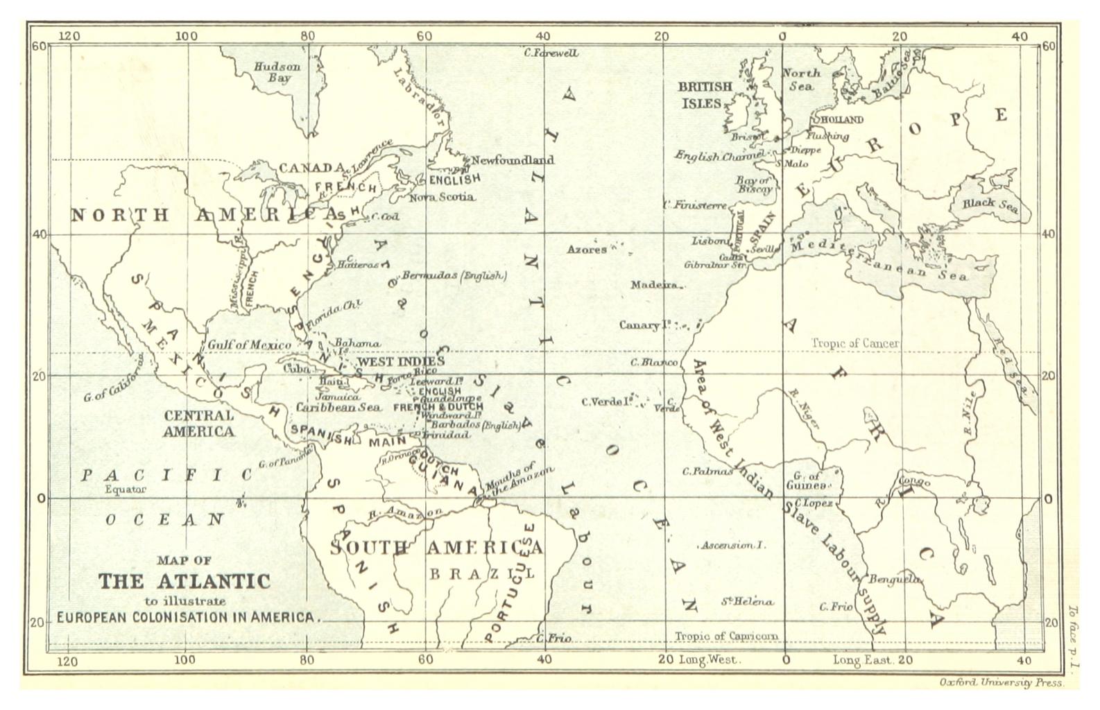
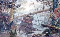
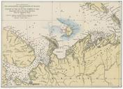
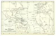
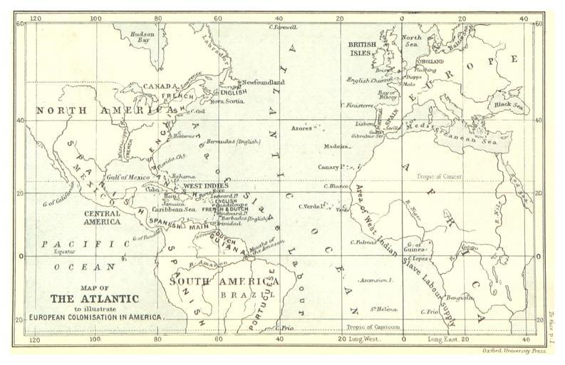
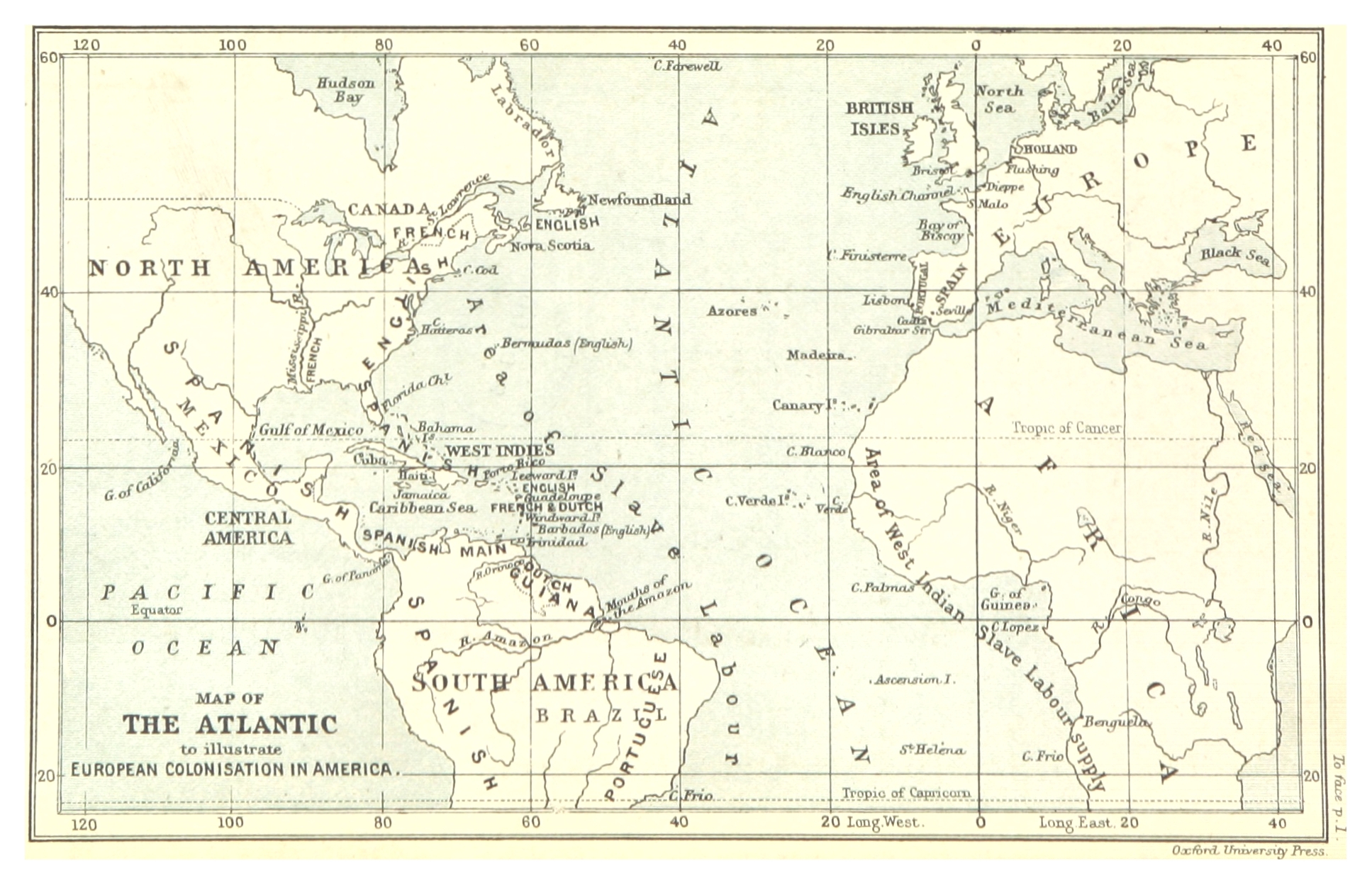
Map of the Atlantic to illustrate euopean colonisation in America . object history credit line accession number British Library HMNTS dd Image extracted from page of volume of Historical Geography of the British Colonies by Charles Lucas Original held and digitised by the British Library Copied from Note The colours contrast