Related Images


Download:
| Tiny | 182x128 | View | Download |
| Small | 364x256 | View | Download |
| Medium | 728x512 | View | Download |
| Large | 1457x1024 | View | Download |
| Original | 1460x1026 | View | Download |
This image was acquired from
wikimedia. It was marked as Public Domain or CC0 and is free to use. To verify, go to the source and check the information there.
Looking for more info about this image?
Try a Google Reverse Image Search for it.
Try a Google Reverse Image Search for it.
Keywords from Image Description:
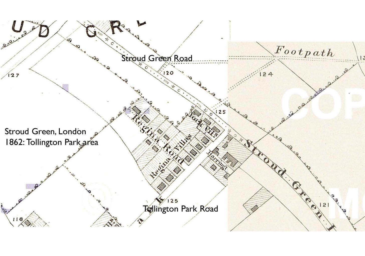
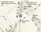
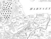
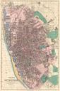
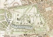
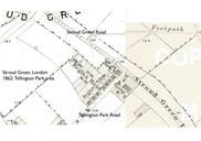
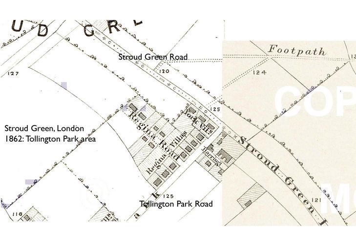
Map Stroud Green London Tollington Park . For more information about this area see the pages about Stroud Green This map is taken from Edward Stanford's plate inch to the mile Library Map of London Its Suburbs which was first published in The presentday street names are given in Gill Sans type PDold Original upload log en MapStroudGreen