Related Images


Download:
| Tiny | 85x128 | View | Download |
| Small | 170x256 | View | Download |
| Medium | 340x512 | View | Download |
| Large | 681x1024 | View | Download |
| Original | 6742x10130 | View | Download |
This image was acquired from
wikimedia. It was marked as Public Domain or CC0 and is free to use. To verify, go to the source and check the information there.
Looking for more info about this image?
Try a Google Reverse Image Search for it.
Try a Google Reverse Image Search for it.
Keywords from Image Description:
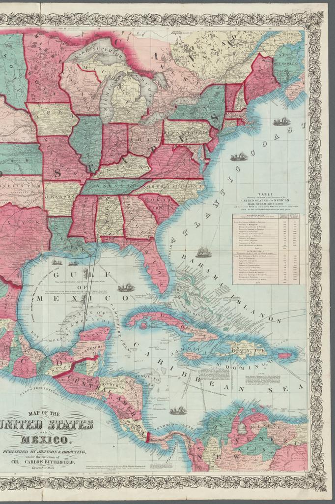
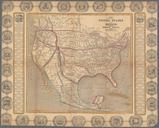
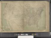
Map of the United States and Mexico NYPL b. en Relief shown by hachures and spot heights Depths shown by soundings Includes illustrations of ships historical notes Table of Distances and Table showing the route of the steamers of the United States and Mexican Mail Steam Ship Line and the various ports in the Gulf of Mexico at which