
Related Images


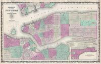

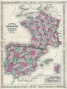

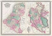


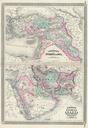

Download:
| Tiny | 100x128 | View | Download |
| Small | 201x256 | View | Download |
| Medium | 402x512 | View | Download |
| Large | 805x1024 | View | Download |
| Original | 3931x5000 | View | Download |
This image was acquired from
wikimedia. It was marked as Public Domain or CC0 and is free to use. To verify, go to the source and check the information there.
Looking for more info about this image?
Try a Google Reverse Image Search for it.
Try a Google Reverse Image Search for it.
Keywords from Image Description:
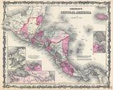
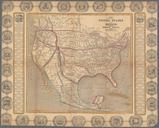
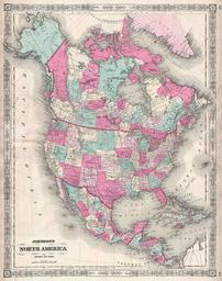
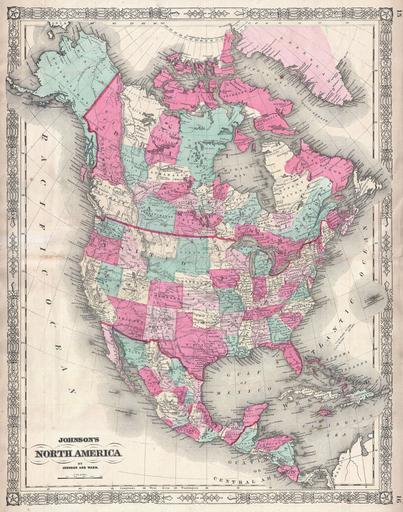
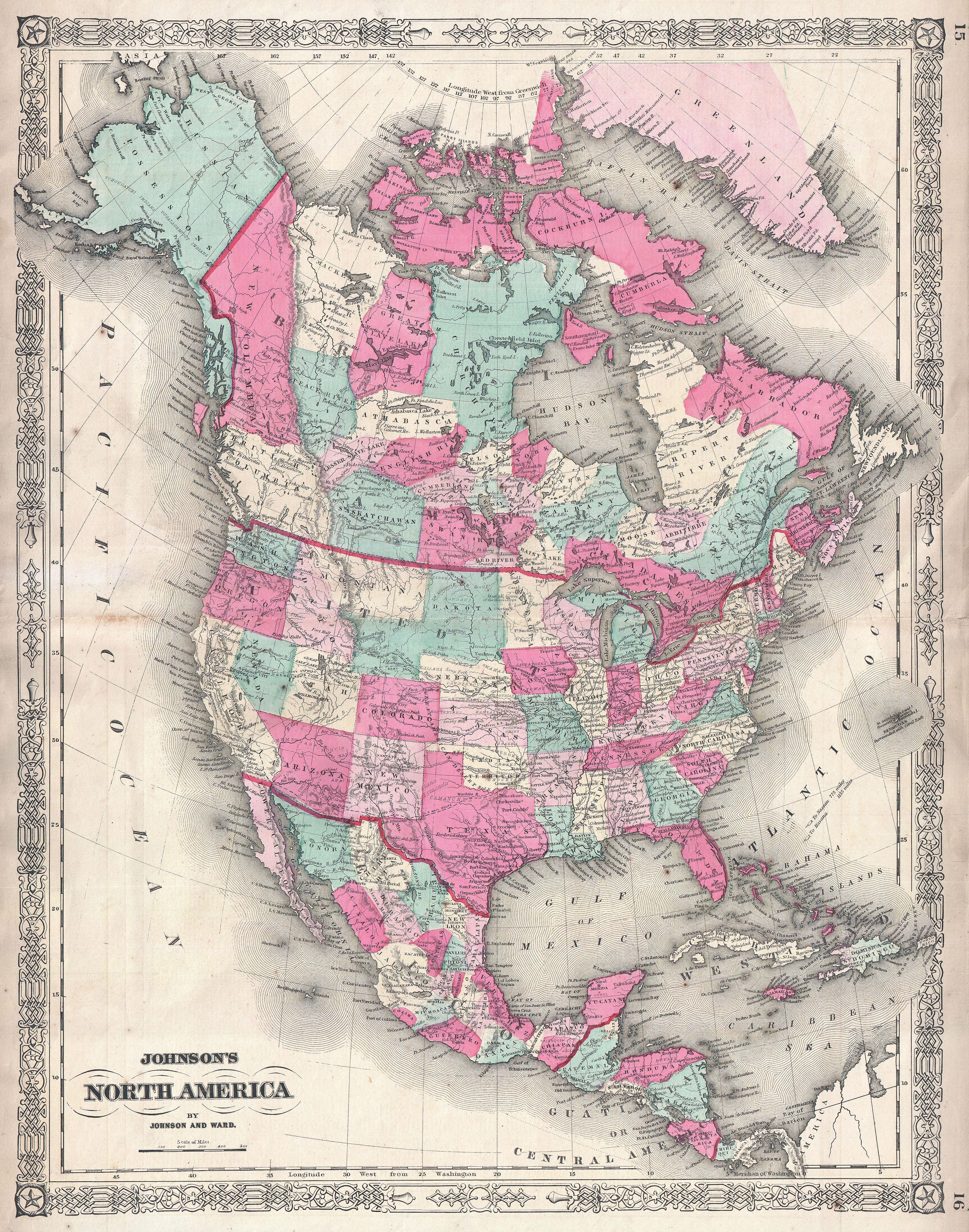
Johnson Map of North America Canada United States Mexico Geographicus AmerNorthjohnson. This is Johnson and Ward map of the North America and Central America Details Extends from Panama northward as far the Arctic Circle including Alaska and Greenland Shows the United State Canada and Mexico divided into states and provinces