
Related Images


Download:
| Tiny | 160x128 | View | Download |
| Small | 321x256 | View | Download |
| Medium | 642x512 | View | Download |
| Large | 1284x1024 | View | Download |
| Original | 5166x4119 | View | Download |
This image was acquired from
wikimedia. It was marked as Public Domain or CC0 and is free to use. To verify, go to the source and check the information there.
Looking for more info about this image?
Try a Google Reverse Image Search for it.
Try a Google Reverse Image Search for it.
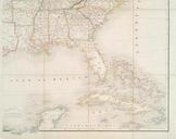
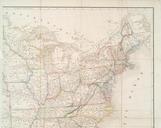
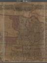
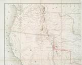
Keywords from Image Description:
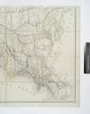
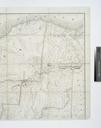
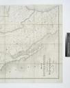
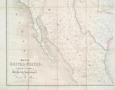
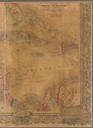
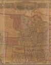
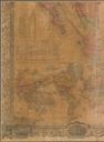
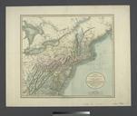
Map of the United States of North America with parts of the adjacent countries NYPL b. en In lower right margin John Arrowsmith Includes notes National Endowment for the Humanities Grant for Access to Early Maps of the Middle Atlantic Seaboard Relief shown by hachures Citation LC Railroad maps Heading West Appears in Burr's The