Related Images


Download:
| Tiny | 153x128 | View | Download |
| Small | 306x256 | View | Download |
| Medium | 613x512 | View | Download |
| Large | 1227x1024 | View | Download |
| Original | 2208x1842 | View | Download |
This image was acquired from
wikimedia. It was marked as Public Domain or CC0 and is free to use. To verify, go to the source and check the information there.
Looking for more info about this image?
Try a Google Reverse Image Search for it.
Try a Google Reverse Image Search for it.
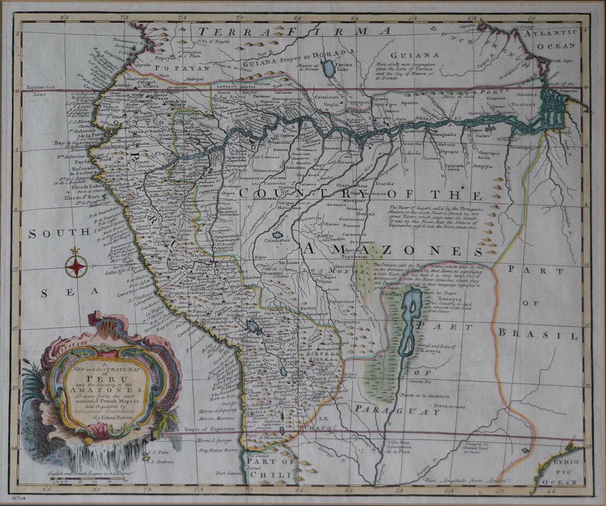
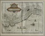
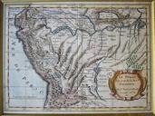
Keywords from Image Description:
MapaPer.EmanBowen. Mapa del Per de Eman Bowen Foto tomada por Manuel Gonzlez Olaechea Franco Description Map of Peru Name new and accurate map of Peru and the country of the Amazones Drawn from the most authentic French Maps Co and Regulated by Astronomical observations Certificate Antique map of Peru by Emanuel Bowen Engraved to