Download:
| Tiny | 108x128 | View | Download |
| Small | 216x256 | View | Download |
| Medium | 432x512 | View | Download |
| Large | 865x1024 | View | Download |
| Original tiff | 4296x5083 | View | Download |
| Original as jpg | 4296x5083 | View | Download |
This image was acquired from
wikimedia. It was marked as Public Domain or CC0 and is free to use. To verify, go to the source and check the information there.
Looking for more info about this image?
Try a Google Reverse Image Search for it.
Try a Google Reverse Image Search for it.
Keywords from Image Description:
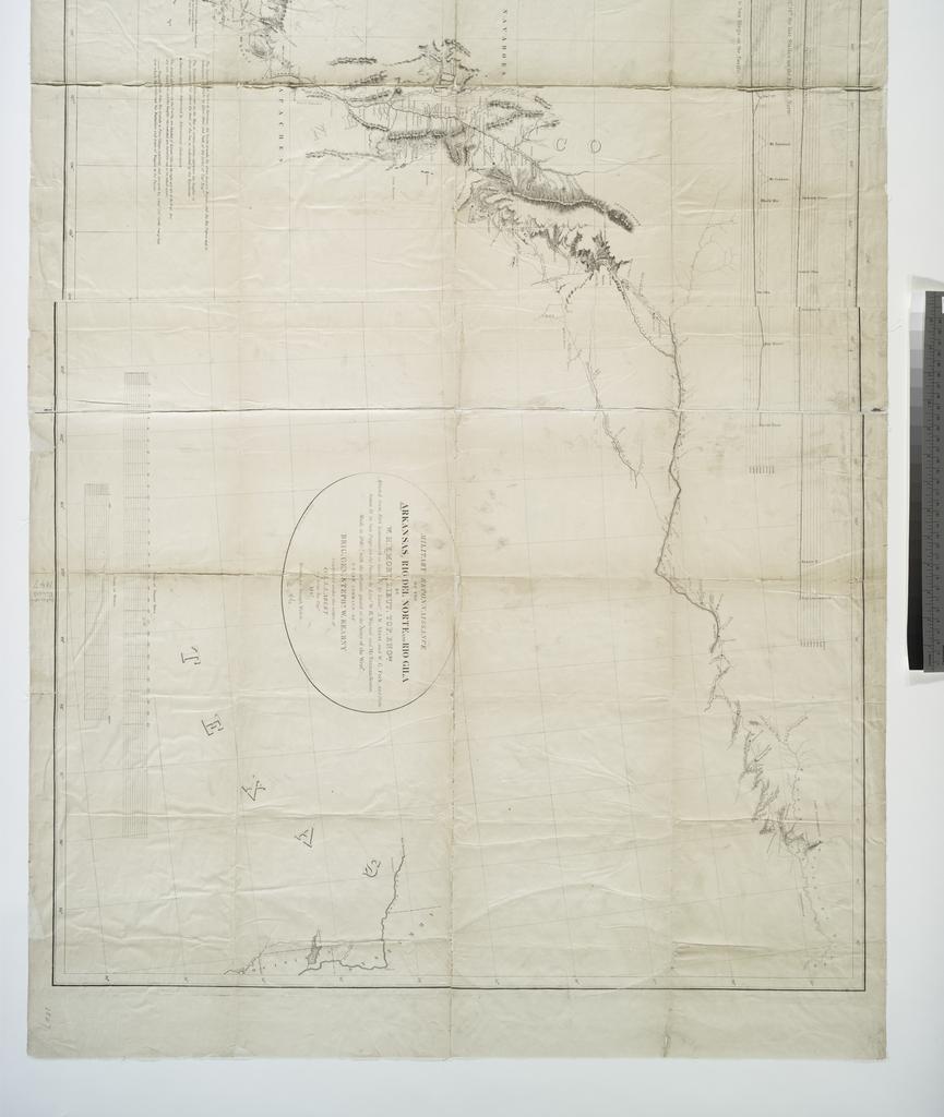
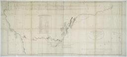
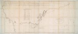
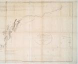
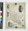
Military reconnaissance of the Arkansas Rio del Norte and Rio Gila NYPL b. en Relief shown by hachures and spot heights Engraved on stone by Weber Co Baltimore Includes Table of geographical positions on the route pursued by the Army of the West Barometric profile of the route from Fort Levenworth to Camp of Octr th the last station
