Related Images


Download:
| Tiny | 256x128 | View | Download |
| Small | 512x256 | View | Download |
| Medium | 1024x512 | View | Download |
| Large | 2048x1024 | View | Download |
| Original | 2882x1441 | View | Download |
This image was acquired from
wikimedia. It was marked as Public Domain or CC0 and is free to use. To verify, go to the source and check the information there.
Looking for more info about this image?
Try a Google Reverse Image Search for it.
Try a Google Reverse Image Search for it.
Keywords from Image Description:
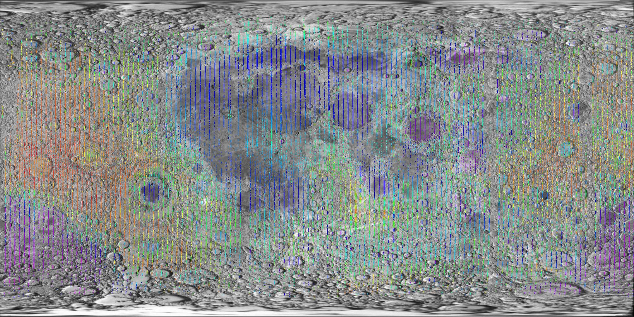
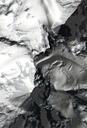
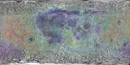
Moon clementine lidar. Lidar measurements of lunar topography made by Clementine mission plotted using GMT and gltmbpr tab from PDS superimposed on map from htm Martin Pauer Power PD maps of the Moon LIDAR images