
Related Images


Download:
| Tiny | 179x128 | View | Download |
| Small | 359x256 | View | Download |
| Medium | 718x512 | View | Download |
| Large | 1436x1024 | View | Download |
| Original | 2826x2015 | View | Download |
This image was acquired from
wikimedia. It was marked as Public Domain or CC0 and is free to use. To verify, go to the source and check the information there.
Looking for more info about this image?
Try a Google Reverse Image Search for it.
Try a Google Reverse Image Search for it.
Keywords from Image Description:
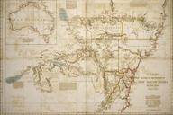
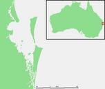
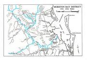
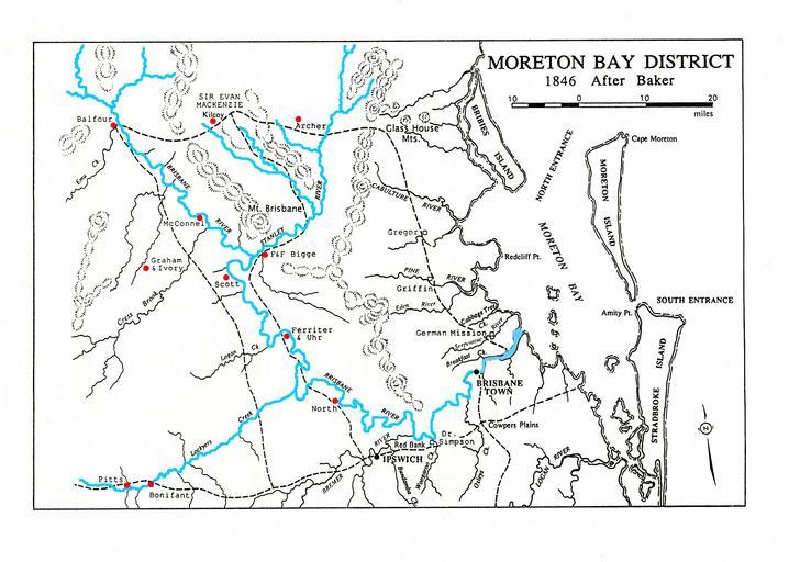
Moreton Bay after Baker with additions. en Baker map of shows the relative positions of the pioneer families of the Somerset region around the Stanley and Brisbane Rivers Baker Map of Moreton Bay and part of the Darling Down Clarence Districts shewing the stations of the squatters in the Northern Districts of New South Wales Map