
Related Images


Download:
| Tiny | 104x128 | View | Download |
| Small | 208x256 | View | Download |
| Medium | 416x512 | View | Download |
| Large | 832x1024 | View | Download |
| Original | 1952x2400 | View | Download |
This image was acquired from
wikimedia. It was marked as Public Domain or CC0 and is free to use. To verify, go to the source and check the information there.
Looking for more info about this image?
Try a Google Reverse Image Search for it.
Try a Google Reverse Image Search for it.
Keywords from Image Description:
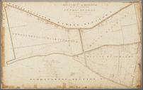
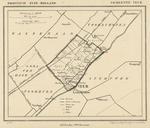
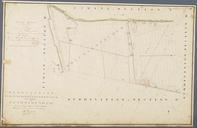
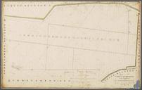
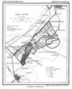
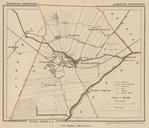
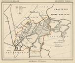
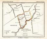
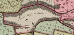
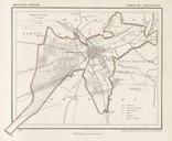
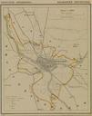
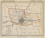
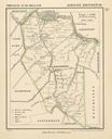
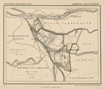
Netherlands Stompwijk map around . nl Kaart van de voormalige gemeente Stompwijk rond momenteel deel van de gemeente LeidschendamVoorburg ZuidHolland Nederland Afkomstig uit de GemeenteAtlas van Nederland naar officieele bronnen bewerkt door Kuyper en Map of the former municipality of Stompwijk around currently part of the municipality