
Related Images

Download:
| Tiny | 201x128 | View | Download |
| Small | 403x256 | View | Download |
| Medium | 806x512 | View | Download |
| Large | 1613x1024 | View | Download |
| Original | 5600x3554 | View | Download |
This image was acquired from
wikimedia. It was marked as Public Domain or CC0 and is free to use. To verify, go to the source and check the information there.
Looking for more info about this image?
Try a Google Reverse Image Search for it.
Try a Google Reverse Image Search for it.
Keywords from Image Description:
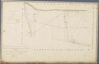
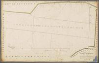
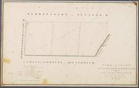
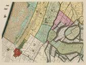
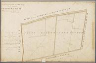
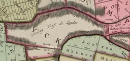
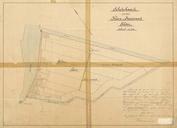
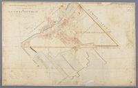
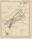
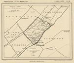
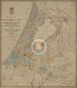
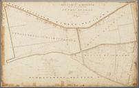
Netherlands Stompwijk Polder map from . nl Gedeeltelijk Frans en Nederlandstalige Kadasterkaart uit van de Kleine Blankaartpolder de Groote Blankaartpolder en het noordoostelijk deel van de Groote Drooggemaakte Polder allemaal gelegen rondom Stompwijk Holland waarvan de dorpskern ook op de kaart zichtbaar is Te zien is dat er tussen