
Related Images
Download:
| Tiny | 191x128 | View | Download |
| Small | 383x256 | View | Download |
| Medium | 766x512 | View | Download |
| Large | 1533x1024 | View | Download |
| Original | 3481x2324 | View | Download |
This image was acquired from
wikimedia. It was marked as Public Domain or CC0 and is free to use. To verify, go to the source and check the information there.
Looking for more info about this image?
Try a Google Reverse Image Search for it.
Try a Google Reverse Image Search for it.
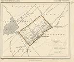
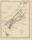
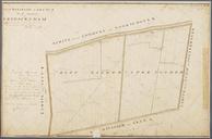
Keywords from Image Description:
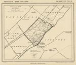
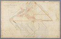
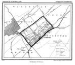
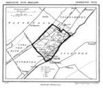
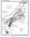
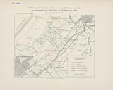
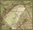
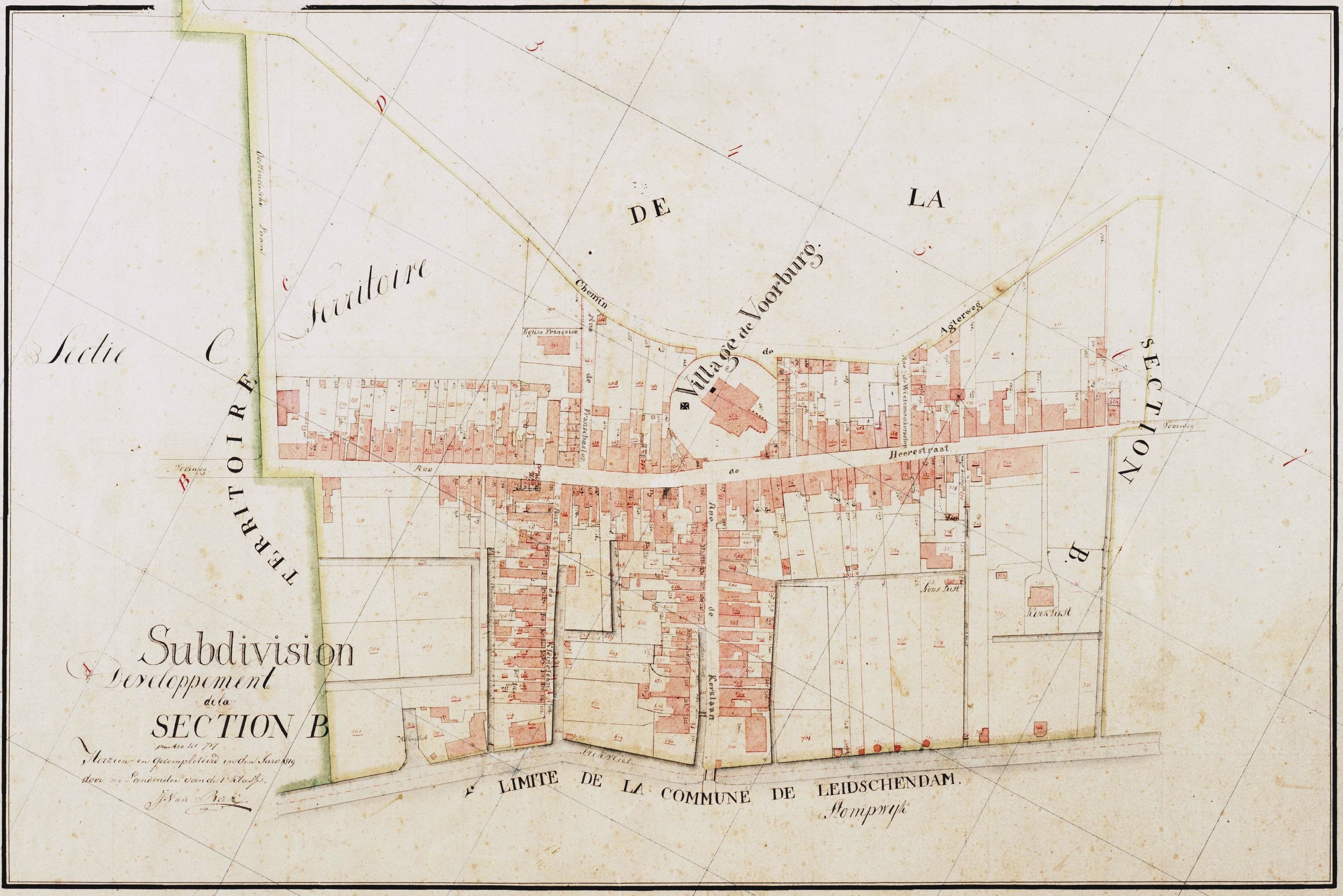
Netherlands Voorburg map of . nl Kadasterkaart uit van de dorpskern van Voorburg met genummerde kavels en percelen Herkenbaar zijn de Rue de Heerestraat Herenstraat Rue de Wielemaakersslop Wielemakersslop Chemin de Agterweg Parkweg Oostindische Laan Laan van Nieuw Oosteinde Rue de Franscheslop Franse Kerkstraat en Rue de Kleinelaan