Download:
| Tiny | 96x128 | View | Download |
| Small | 192x256 | View | Download |
| Medium | 384x512 | View | Download |
| Large | 769x1024 | View | Download |
| Original tiff | 7760x10328 | View | Download |
| Original as jpg | 7760x10328 | View | Download |
This image was acquired from
wikimedia. It was marked as Public Domain or CC0 and is free to use. To verify, go to the source and check the information there.
Looking for more info about this image?
Try a Google Reverse Image Search for it.
Try a Google Reverse Image Search for it.
Keywords from Image Description:
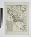
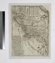
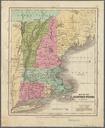
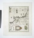
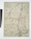
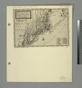
New England states NYPL b. en Relief shown pictorially Prime meridian Washington Coordinates converted by cataloger to express longitude as measured from the Greenwich meridian Includes table of distances from Boston Appears in Samuel Griswold Goodrich's Atlas designed to illustrate the MalteBrun school geography Boston Carter and


