
Related Images


Download:
| Tiny | 215x128 | View | Download |
| Small | 431x256 | View | Download |
| Medium | 862x512 | View | Download |
| Original svg | 1152x684 | View | Download |
| Original as jpg | 1152x684 | View | Download |
This image was acquired from
wikimedia. It was marked as Public Domain or CC0 and is free to use. To verify, go to the source and check the information there.
Looking for more info about this image?
Try a Google Reverse Image Search for it.
Try a Google Reverse Image Search for it.
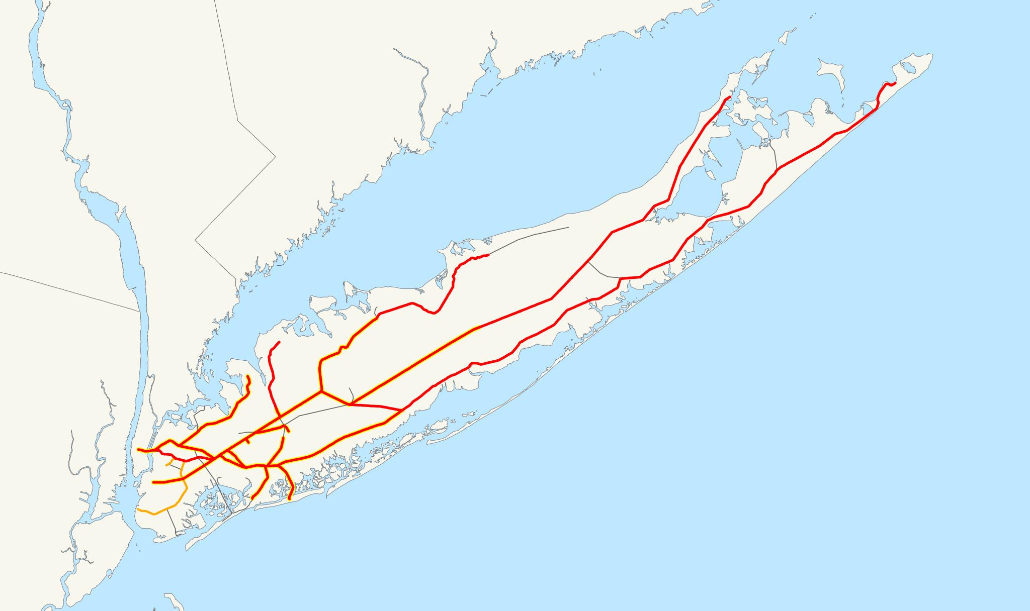
Keywords from Image Description:
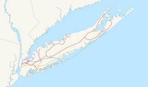
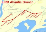
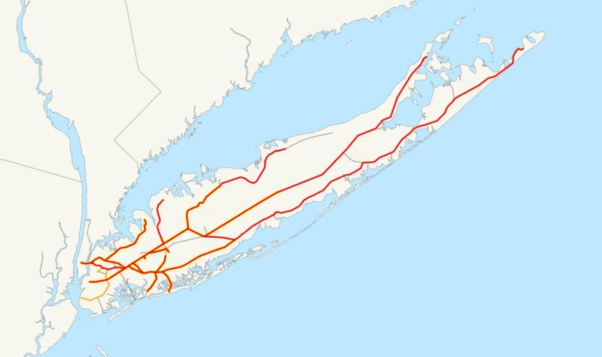
LIRR map.svg This is map of the rail network currently owned by the Long Island Rail Road Orange lines are freightonly and are operated by the New York and Atlantic Railway Thin black lines have been abandoned yellow highlight indicates electrification The following GIS data was used bts gov NORTAD for boundaries bts gov National