Download:
| Tiny | 89x128 | View | Download |
| Small | 178x256 | View | Download |
| Medium | 356x512 | View | Download |
| Large | 712x1024 | View | Download |
| Original svg | 2399x3450 | View | Download |
| Original as jpg | 2399x3450 | View | Download |
This image was acquired from
wikimedia. It was marked as Public Domain or CC0 and is free to use. To verify, go to the source and check the information there.
Looking for more info about this image?
Try a Google Reverse Image Search for it.
Try a Google Reverse Image Search for it.
Keywords from Image Description:
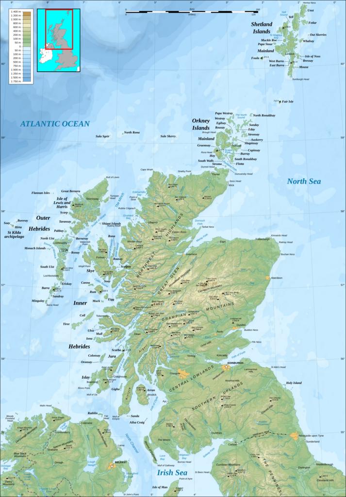
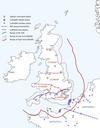
North Britain topographic.svg Topographic map of northern Britain in English raster with vector graphic overlays Carte topographique en anglais de du nord bitmap au format avec informations vectorises SVG Scotlandtopographicmapen svg Scotlandtopographicmapen svg User Sting derivative work Hogweard Removed administrative areas
