Related Images


This image was acquired from
wikimedia. It was marked as Public Domain or CC0 and is free to use. To verify, go to the source and check the information there.
Looking for more info about this image?
Try a Google Reverse Image Search for it.
Try a Google Reverse Image Search for it.
Keywords from Image Description:
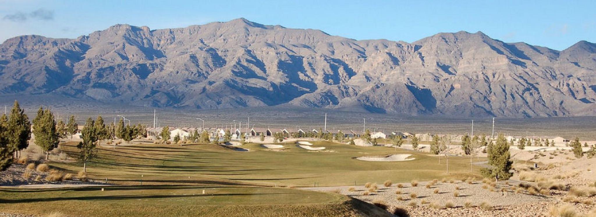
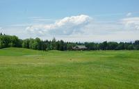
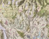
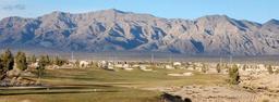
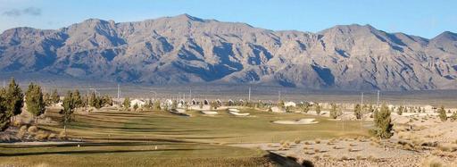
Northlasv. The southern section of the Las Vegas Range and the Aliante Golf Club in the Las Vegas Valley in Clark County southern Nevada The highest point of the range is Gass Peak at convert ft leftcenter in photo The range has long northsouth ridgeline lower in elevation with the southern end forming en massif probably caused