Related Images


Download:
| Tiny | 161x128 | View | Download |
| Small | 322x256 | View | Download |
| Medium | 644x512 | View | Download |
| Large | 1288x1024 | View | Download |
| Original | 4997x3970 | View | Download |
This image was acquired from
wikimedia. It was marked as Public Domain or CC0 and is free to use. To verify, go to the source and check the information there.
Looking for more info about this image?
Try a Google Reverse Image Search for it.
Try a Google Reverse Image Search for it.
Keywords from Image Description:
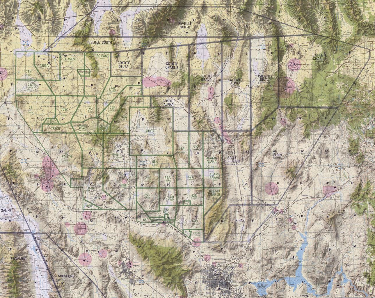
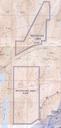
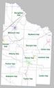
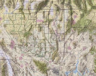
Nevada TTR Chart. en February The five geographical areas of the Nellis Range Complex consist of Restricted Areas primarily used for testing and munitions training used for electronic combat and munitions training used by the Nevada Test Site used primarily as an electronic combat range and the Desert Military Operating Area used