Download:
| Tiny | 98x128 | View | Download |
| Small | 196x256 | View | Download |
| Medium | 393x512 | View | Download |
| Large | 786x1024 | View | Download |
| Original | 3768x4906 | View | Download |
This image was acquired from
wikimedia. It was marked as Public Domain or CC0 and is free to use. To verify, go to the source and check the information there.
Looking for more info about this image?
Try a Google Reverse Image Search for it.
Try a Google Reverse Image Search for it.
Keywords from Image Description:
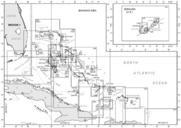
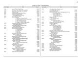
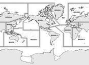
NOS Chart CatalogRegion . en NGA Nautical Charts are broken down into Regions This diagram corresponding to Region Central and South America and Antarctica es Las cartas producidas por la NGA se dividen en Regiones Este diadrama corresponde la REgin Amrica Central Amrica del Sur Antrtida naco faa gov pdf NOAA National Oceanic

