
Related Images


Download:
| Tiny | 82x128 | View | Download |
| Small | 164x256 | View | Download |
| Medium | 328x512 | View | Download |
| Large | 657x1024 | View | Download |
| Original png | 858x1336 | View | Download |
| Original as jpg | 858x1336 | View | Download |
This image was acquired from
wikimedia. It was marked as Public Domain or CC0 and is free to use. To verify, go to the source and check the information there.
Looking for more info about this image?
Try a Google Reverse Image Search for it.
Try a Google Reverse Image Search for it.
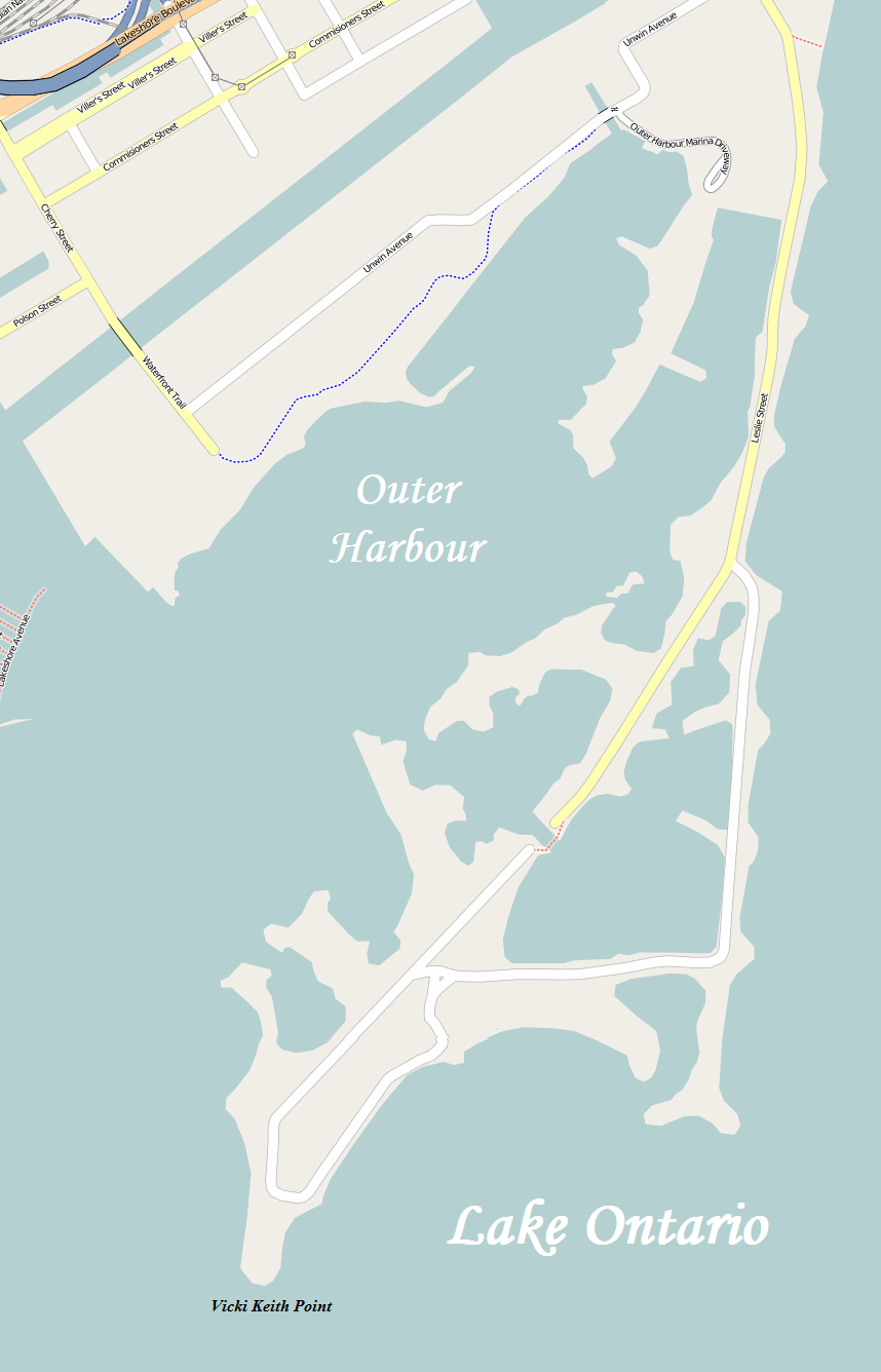
Keywords from Image Description:
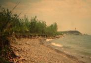
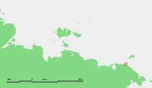
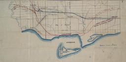
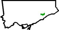
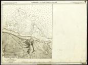
OHEHOpenStreetMap. en map of Toronto's Outer Harbour East Headland more commonly known as the Leslie Street Spit openstreetmap org OpenStreetMap modified by Kelisi The aforesaid website is freely usable to all OpenStreetMap maps PAGENAME Maps of Toronto Leslie Street Spit