Related Images

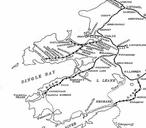


Download:
| Tiny | 260x128 | View | Download |
| Small | 520x256 | View | Download |
| Medium | 1040x512 | View | Download |
| Original | 1920x945 | View | Download |
This image was acquired from
wikimedia. It was marked as Public Domain or CC0 and is free to use. To verify, go to the source and check the information there.
Looking for more info about this image?
Try a Google Reverse Image Search for it.
Try a Google Reverse Image Search for it.
Keywords from Image Description:
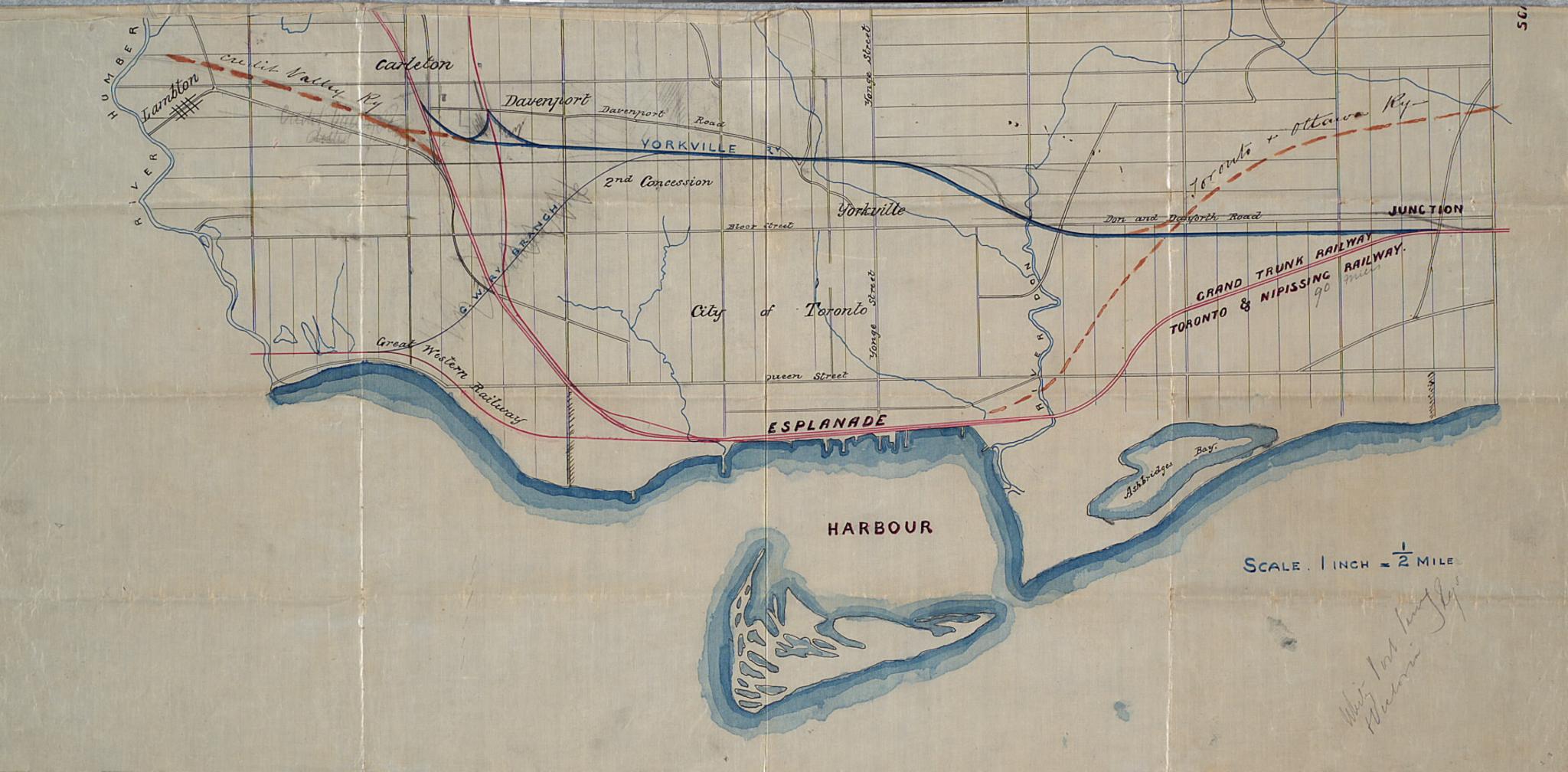
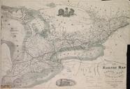
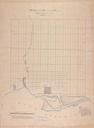
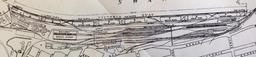
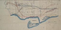
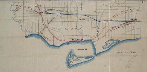
Map of Toronto its railways and the harbour. en Map of the city of Toronto depicting the railways and its harbour The Humber River and Don River are also indicated TPL torontopubliclibrary ca jsp Entt RDMDCMAPSR DCMAPSR Toronto at the Toronto Public Library author date late PDold Old maps of Toronto Rail transport maps of Canada