Related Images


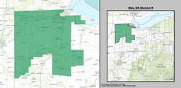
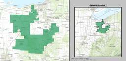
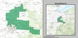
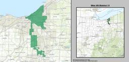
This image was acquired from
wikimedia. It was marked as Public Domain or CC0 and is free to use. To verify, go to the source and check the information there.
Looking for more info about this image?
Try a Google Reverse Image Search for it.
Try a Google Reverse Image Search for it.
Keywords from Image Description:
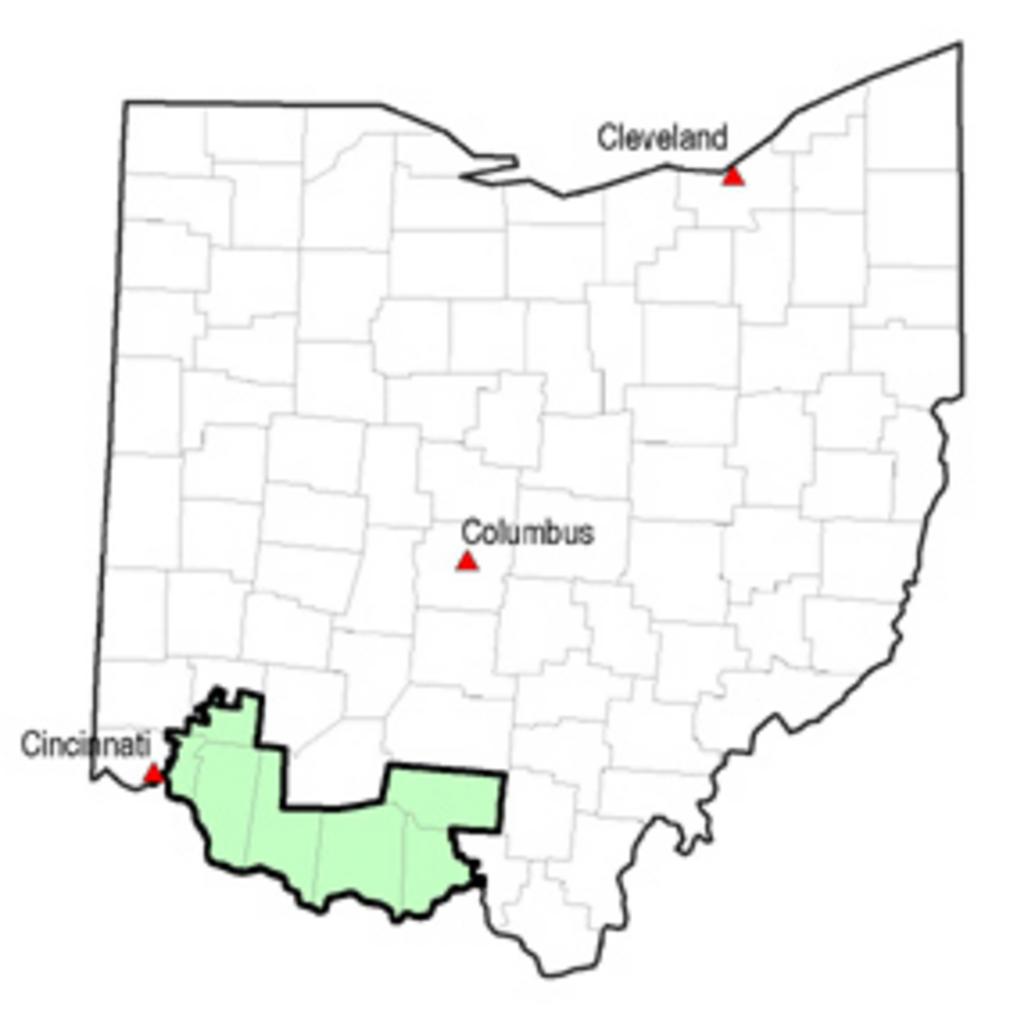
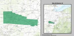
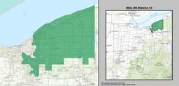
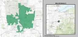
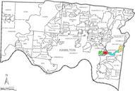
Ohiodistrict. State of Ohio showing counties and nd Congressional District File made by Antandrus using ESRI ArcView and public domain data from the US Census en Image Ohiodistrict unknown Antandrus Antandrus Congressional district maps of Ohio