Related Images


Download:
| Tiny | 126x128 | View | Download |
| Small | 252x256 | View | Download |
| Original png | 484x490 | View | Download |
| Original as jpg | 484x490 | View | Download |
This image was acquired from
wikimedia. It was marked as Public Domain or CC0 and is free to use. To verify, go to the source and check the information there.
Looking for more info about this image?
Try a Google Reverse Image Search for it.
Try a Google Reverse Image Search for it.
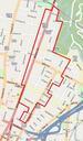
Keywords from Image Description:
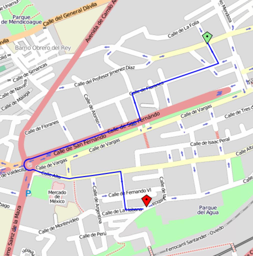
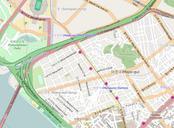
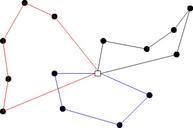
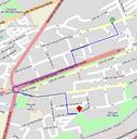
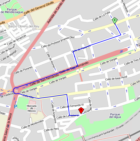
OpenStreetMap routing service. en Calculating an optimal route between point of origin green and point of destination red using yournavigation org OpenStreetMap routing service es Clculo de una ruta ptima entre un punto de origen verde un punto de destino rojo utilizando yournavigation org OpenStreetMap routing service own Tony