Download:
| Tiny | 125x128 | View | Download |
| Small | 250x256 | View | Download |
| Medium | 500x512 | View | Download |
| Large | 1000x1024 | View | Download |
| Original | 1688x1727 | View | Download |
This image was acquired from
wikimedia. It was marked as Public Domain or CC0 and is free to use. To verify, go to the source and check the information there.
Looking for more info about this image?
Try a Google Reverse Image Search for it.
Try a Google Reverse Image Search for it.
Keywords from Image Description:
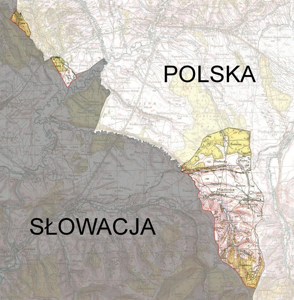
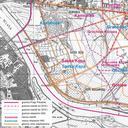
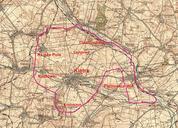
Orawa . Area of Orawa annexed to Poland in Wojskowy Instytut Geograficzny Before World War II Wojskowy Instytut Geograficzny topographic map borders design topographic map PDold borders design GFDL Ccbysa migrated Obszar Orawy przyczony do Polski listopadzie grudniu na mapie skali wydanej przez Wojskowy Instytut Geograficzny
