Related Images


Download:
| Tiny | 185x128 | View | Download |
| Small | 371x256 | View | Download |
| Medium | 743x512 | View | Download |
| Large | 1486x1024 | View | Download |
| Original | 10500x7235 | View | Download |
This image was acquired from
wikimedia. It was marked as Public Domain or CC0 and is free to use. To verify, go to the source and check the information there.
Looking for more info about this image?
Try a Google Reverse Image Search for it.
Try a Google Reverse Image Search for it.
Keywords from Image Description:
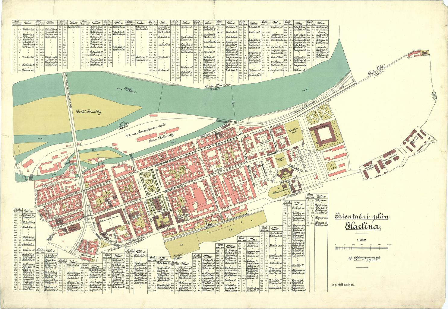
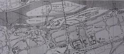
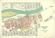
Orientacni plan Karlina . Orientan pln Karlna se seznamem ulic mtku bach cz action eventPager sourcePage JzWxzxIDRFHXWjdwMTGDaxxLYdx rowPg PDold Old maps of Prague History of Karln Maps of Karln Rohansk ostrov