
Related Images
This image was acquired from
wikimedia. It was marked as Public Domain or CC0 and is free to use. To verify, go to the source and check the information there.
Looking for more info about this image?
Try a Google Reverse Image Search for it.
Try a Google Reverse Image Search for it.
Keywords from Image Description:
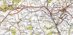
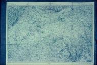
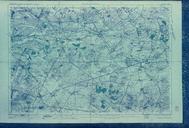
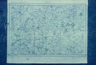
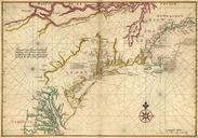
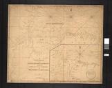
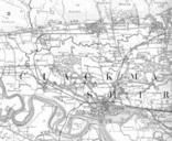
OS Map of Southampton new. en October This is an image of map by the Ordnance Survey under the directorship of Henry James Ordnance Survey of the city of Southampton In it you can see in the lower left hand quarter the buildings that made up the Ordnance Survey Offices of this period including the building known as the glasshouse